Customize Consent Preferences

We use cookies to help you navigate efficiently and perform certain functions. You will find detailed information about all cookies under each consent category below.

The cookies that are categorized as "Necessary" are stored on your browser as they are essential for enabling the basic functionalities of the site. ... 

Always Active

Necessary cookies are required to enable the basic features of this site, such as providing secure log-in or adjusting your consent preferences. These cookies do not store any personally identifiable data.

No cookies to display.

Functional cookies help perform certain functionalities like sharing the content of the website on social media platforms, collecting feedback, and other third-party features.

No cookies to display.

Analytical cookies are used to understand how visitors interact with the website. These cookies help provide information on metrics such as the number of visitors, bounce rate, traffic source, etc.

No cookies to display.

Performance cookies are used to understand and analyze the key performance indexes of the website which helps in delivering a better user experience for the visitors.

No cookies to display.

Advertisement cookies are used to provide visitors with customized advertisements based on the pages you visited previously and to analyze the effectiveness of the ad campaigns.

No cookies to display.

Excavations.ie

2025:027 - Reenroe, Emlaghmore West, Kerry

NMI Burial Excavation Records

County: Kerry

Site name: Reenroe, Emlaghmore West

Sites and Monuments Record No.: N/A

Licence number: 24E1054

Author: Katarzyna Labaj

Site type: No archaeology found

Period/Dating: N/A

ITM: E 445827m, N 568351m

Latitude, Longitude (decimal degrees): 51.846064, -10.237738

Missing Mapbox GL JS CSS

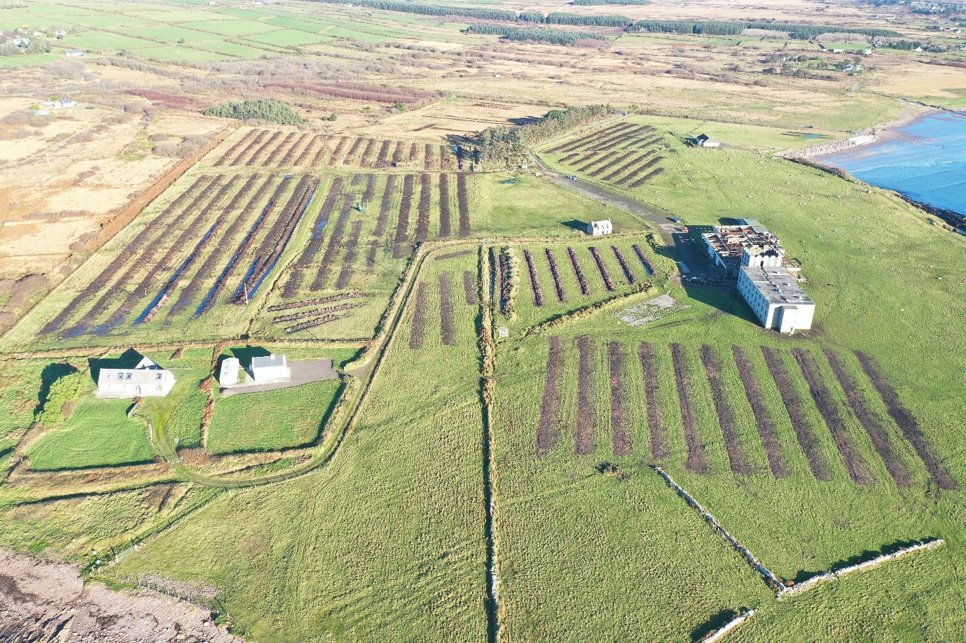
Licensed archaeological testing was undertaken  in the townlands of Reenroe and Emlaghmore West, Co. Kerry in November/December 2024.The proposed development site is located at the northernmost limits of Ballinskelligs Bay.

A series of 60 test trenches (T1-T60) extending for c.7085m were opened across the testable footprint of the proposed development.  With the exception of the southernmost limits of the site, in proximity to a derelict hotel building, all fields were very soft and waterlogged due to very thick bog cover. All excavated trenches revealed similar stratigraphy where a deep organic peat layer overlay natural subsoil comprising of mainly yellow or light grey silty sand material with frequent stone inclusions. The depth of the peat varied from over 3m in the northern limits of the site and decreased in thickness towards the southern limits where it was manifest in the test trenches as a thin c.0.2m layer of sandy peaty material.

Nothing of archaeological interest was recorded in any trenches and no artefacts were recovered during testing.