2024:536 - CARRICKMACROSS: Magheross, Ardee Road, Monaghan
County: Monaghan
Site name: CARRICKMACROSS: Magheross, Ardee Road
Sites and Monuments Record No.: MO031-035001 to MO031-035006
Licence number: 23E0657 ext.
Author: Seán Shanahan & Graeme Laidlaw; Shanarc Archaeology Ltd.
Author/Organisation Address: Unit 39a, Hebron Business Park, Hebron Road, Kilkenny
Site type: No archaeology found
Period/Dating: N/A
ITM: E 684068m, N 803194m
Latitude, Longitude (decimal degrees): 53.971187, -6.718623
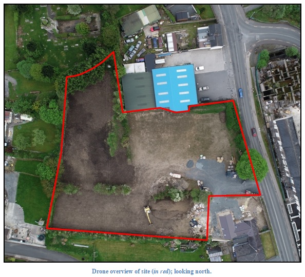
In 2023 the site was subjected to a geophysical survey (23R0248) followed by a metal detection survey (23R0397) and test excavation (23E0657); see separate Excavation Bulletin entry 2023:258.
Subsequent to testing, additional archaeological monitoring was carried out on 10 & 11 January 2024 under licence no. 23E0657 ext.
Monitored groundworks comprised ground reduction across the site, and work was undertaken by a 20 tonne track machine fitted with a grading bucket.
The topsoil was a dark brown crumbly silty-clay with moderate small stone inclusions. The topsoil overlay a moderately compact layer of humus-rich sandy-silt with frequent inclusions of small stones. This layer varied between 0.35m in depth in the centre of the site, to c.0.9m towards the north-east and south-west limits of the site.
The natural subsoil was a mid yellow-brown silty-clay with large boulders throughout.
A shallow feature was identified cutting thought the natural subsoil in the north-west of the site. The feature contained modern plastic and Styrofoam and was likely a modern pit feature, such as a soak pit.
No archaeological features were identified during the archaeological monitoring.