2024:292 - MILLTOWN, Ashbourne, Meath
County: Meath
Site name: MILLTOWN, Ashbourne
Sites and Monuments Record No.: N/A
Licence number: 24E0556
Author: Steven McGlade, Archaeology Plan
Author/Organisation Address: 32 Fitzwilliam Place, Dublin 2
Site type: Excavation - miscellaneous
Period/Dating: Undetermined
ITM: E 706694m, N 751508m
Latitude, Longitude (decimal degrees): 53.502733, -6.391717
Monitoring of topsoil stripping was undertaken in a field in Milltown townland, south of Ashbourne in August 2024. The field is part of a larger Strategic Housing Development, with the remainder of the site currently under excavation by John Kavanagh under Licence No. 24E0860. The overall site was previously tested by the author under Licence No. 22E0590. Ring-ditches, burnt mounds, burials and possible settlement evidence were identified across the overall development. Only one possible pit was identified within the field covered by the current monitoring licence however; it was located to the west of the current site boundary.
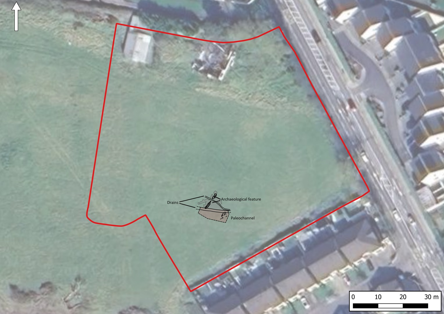
Two shallow linear pits were identified during the monitoring, which appeared to be the deeper-lying remains of a linear ditch. The ditch was close to the edge of a paleochannel in the southern portion of the monitored area. The fills of the sections of the linear feature contained small quantities of burnt and unburnt bone, while the northern section had a charcoal-rich fill. There was no indication of in-situ burning so it appeared the material was burnt elsewhere before being deposited in the ditch. No other archaeological features were identified during the monitoring programme. The ditch was approximately 120m northeast of a burnt mound site identified within the field to the south during the previous testing programme.
Other features identified included silt deposits associated with flooding events and post-medieval drains criss-crossing the field, presumably inserted to improve the water management within the field.

