2024:531 - LIMERICK: No. 2 Convent Street, King's Island, Englishtown, Limerick
County: Limerick
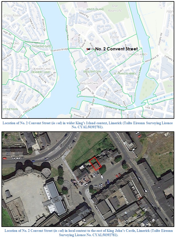
Site name: LIMERICK: No. 2 Convent Street, King's Island, Englishtown
Sites and Monuments Record No.: LI005-017
Licence number: 23E1052
Author: Graeme Laidlaw; Shanarc Archaeology Ltd.
Author/Organisation Address: Unit 39a, Hebron Business Park, Hebron Road, Kilkenny
Site type: No archaeology found
Period/Dating: N/A
ITM: E 557769m, N 657853m
Latitude, Longitude (decimal degrees): 52.670201, -8.624394
Archaeological monitoring in association with the development of an extension to the rear of an existing house at No. 2 Convent Street, King’s Island, Limerick was carried out on 23 May 2024.
The footprint of the extension in the rear garden area was relatively small, measuring c.5m (north-south) x 3m. There was a notable build-up of ground at the rear of the existing dwelling, gradually increasing in height towards the north, where it meets the boundary wall. A small retaining wall defined the southern limit of the rear “garden area”, creating a gap (approximately 0.2m wide) between the dwelling and the retaining wall to prevent moisture seeping through the back wall of the house. The difference in height across the development area (between south and north ends) measured approximately 0.5m (being highest toward the north end).
The overall footprint of the extension area was reduced by 0.2m, while the foundation trench was excavated to maximum depth of 1m on the north side and 0.6m on the south side; the east and west side foundation trenches varied in depth, in keeping with the formation levels of the other two trenches. The stratigraphy comprised two deposits. The upper layer was a dark brown loosely compacted topsoil material containing occasional pieces of modern crockery and glass, measuring 0.6-0.95m in depth. The underlying deposit comprised a moderately compact rubble deposit of mortar and red brick fragments, containing post-medieval pottery and glass fragments. This deposit likely represents a layer of building debris associated with the construction of the dwelling. The foundation trench excavations only marginally impacted this layer.
Metal detection of the excavated deposits (under licence 23R0560) was deemed to be unnecessary by the monitoring archaeologist, as the deposits encountered were all modern in nature. No metal archaeological artefacts were therefore recovered during the monitored works.
Nothing of archaeological significance was found during the monitored groundworks and excavations.