2024:134 - CAPPACLOGH EAST, Kerry
County: Kerry
Site name: CAPPACLOGH EAST
Sites and Monuments Record No.: N/A
Licence number: 24E0512
Author: Katarzyna Labaj
Author/Organisation Address: 195 Shanakill, Tralee, Co. Kerry
Site type: Burnt mound
Period/Dating: Undetermined
ITM: E 468430m, N 610488m
Latitude, Longitude (decimal degrees): 52.230400, -9.926090
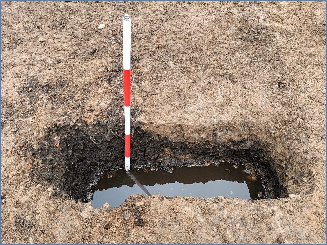
Licensed archaeological testing was undertaken in May 2024 with regard to constructing a glamping site at Sandy Feet Farm, Cappaclogh East, Co. Kerry. A series of fourteen test trenches (T1–T14) extending for c.1280m were opened across the two fields of the proposed development site. Evidence of burnt mound material were recorded in the northern limits of T1 & T2 at the north-west corner of Field 1. The area in between the two trenches was stripped to expose the full extent of the material. Two small sondages were excavated within the burnt mound material establishing its depth to be up to 0.6m and proving that it is representing an in-situ burnt mound, dims.: c.10m (east-west) by c.5.5m. Two soil samples were recovered from the sondages. Nothing of archaeological interest was recorded in any other trenches and no artefacts were recovered during testing.

