Customize Consent Preferences

We use cookies to help you navigate efficiently and perform certain functions. You will find detailed information about all cookies under each consent category below.

The cookies that are categorized as "Necessary" are stored on your browser as they are essential for enabling the basic functionalities of the site. ... 

Always Active

Necessary cookies are required to enable the basic features of this site, such as providing secure log-in or adjusting your consent preferences. These cookies do not store any personally identifiable data.

No cookies to display.

Functional cookies help perform certain functionalities like sharing the content of the website on social media platforms, collecting feedback, and other third-party features.

No cookies to display.

Analytical cookies are used to understand how visitors interact with the website. These cookies help provide information on metrics such as the number of visitors, bounce rate, traffic source, etc.

No cookies to display.

Performance cookies are used to understand and analyze the key performance indexes of the website which helps in delivering a better user experience for the visitors.

No cookies to display.

Advertisement cookies are used to provide visitors with customized advertisements based on the pages you visited previously and to analyze the effectiveness of the ad campaigns.

No cookies to display.

Excavations.ie

2024:555 - Carrigacleena More, Cork

NMI Burial Excavation Records

County: Cork

Site name: Carrigacleena More

Sites and Monuments Record No.: N/A

Licence number: 24E0539

Author: Ewelina Rondelez

Site type: Archaeological testing - no archaeology found

Period/Dating: N/A

ITM: E 552456m, N 590124m

Latitude, Longitude (decimal degrees): 52.061029, -8.693346

Missing Mapbox GL JS CSS

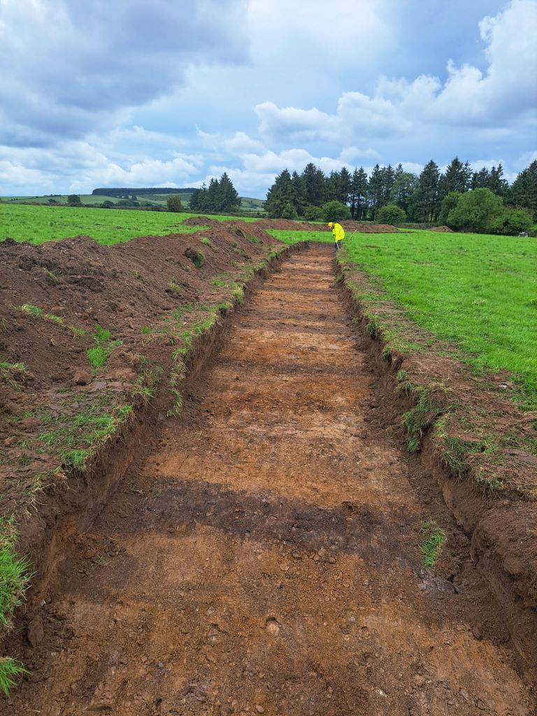
A programme of archaeological test–trenching was undertaken at Carrigcleena More, Bweeng, Co. Cork, from 26 June to 1 July 2024. The testing programme comprised the excavation of 45 test trenches. Six field boundaries were revealed in ten trenches. Agricultural furrows were found across all parts of the site and were aligned with the orientations of the field boundaries. Several ditches that corresponded with field boundaries depicted on historic mapping were uncovered. The general layout of these was largely established prior to 1840, when the work was carried our for the first edition 6–inch Ordinance Survey map (1844); however, some were added after that and before the 1902 survey for the 25–inch Ordinance Survey map (1904). The plough furrows largely aligned with the ditches added between the two maps and are, therefore, also of that date.

No features deemed archaeological were found during the test–trenching.

2024:555 - Carrigacleena More, Cork