2024:441 - BALLYKERWICK, Donoughmore, Cork
County: Cork
Site name: BALLYKERWICK, Donoughmore
Sites and Monuments Record No.: N/A
Licence number: 24E0977
Author: Tony Miller
Author/Organisation Address: Tooreen, Dunmanway, Cork
Site type: No archaeology found
Period/Dating: N/A
ITM: E 548273m, N 582488m
Latitude, Longitude (decimal degrees): 51.992021, -8.753188
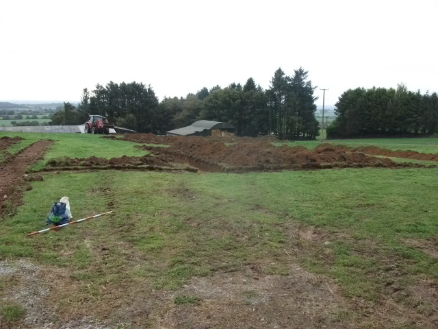
Test excavation was carried out at the site of a proposed single dwelling in the village of Stuake, Donoughmore. The site consisted of a portion of a field of old pasture which sloped towards the south. Test excavation was required due to its proximity to the site of a standing stone (CO050-087–). 9 trenches, with a combined length of 160m, were excavated over the footprint of the development. A general stratigraphy was recorded of between 0.3–0.4m of a mid-brown, loamy topsoil overlying a fine orange boulder clay. Numerous plough marks were noted on a north-west/south-east axis, parallel with a field boundary shown on earlier maps, subsequently removed. Only T1 was different, with evidence for considerable modern disturbance related to building works on the adjacent school. No archaeology was found.