2024:093 - GARRYHESTY, Cork
County: Cork
Site name: GARRYHESTY
Sites and Monuments Record No.: N/A
Licence number: 23E0177
Author: Jennifer McCarthy
Author/Organisation Address: Unit 2, Europa Enterprise Park, Midleton, Co. Cork. P25 TV25
Site type: Excavation - miscellaneous
Period/Dating: Undetermined
ITM: E 551533m, N 600220m
Latitude, Longitude (decimal degrees): 52.151694, -8.708241
This summary presents the preliminary results of the archaeological excavation of features uncovered during monitoring of topsoil stripping associated with a quarry extension. The first phase of excavation was undertaken between 21 August and 7 September 2023, with a second phase of excavation undertaken in January 2024.
Excavation results
The resolved and excavated features at Garryhesty comprised:
Phase 1
• Area A—A short section of a field boundary ditch containing levelled burnt mound material and a linear feature
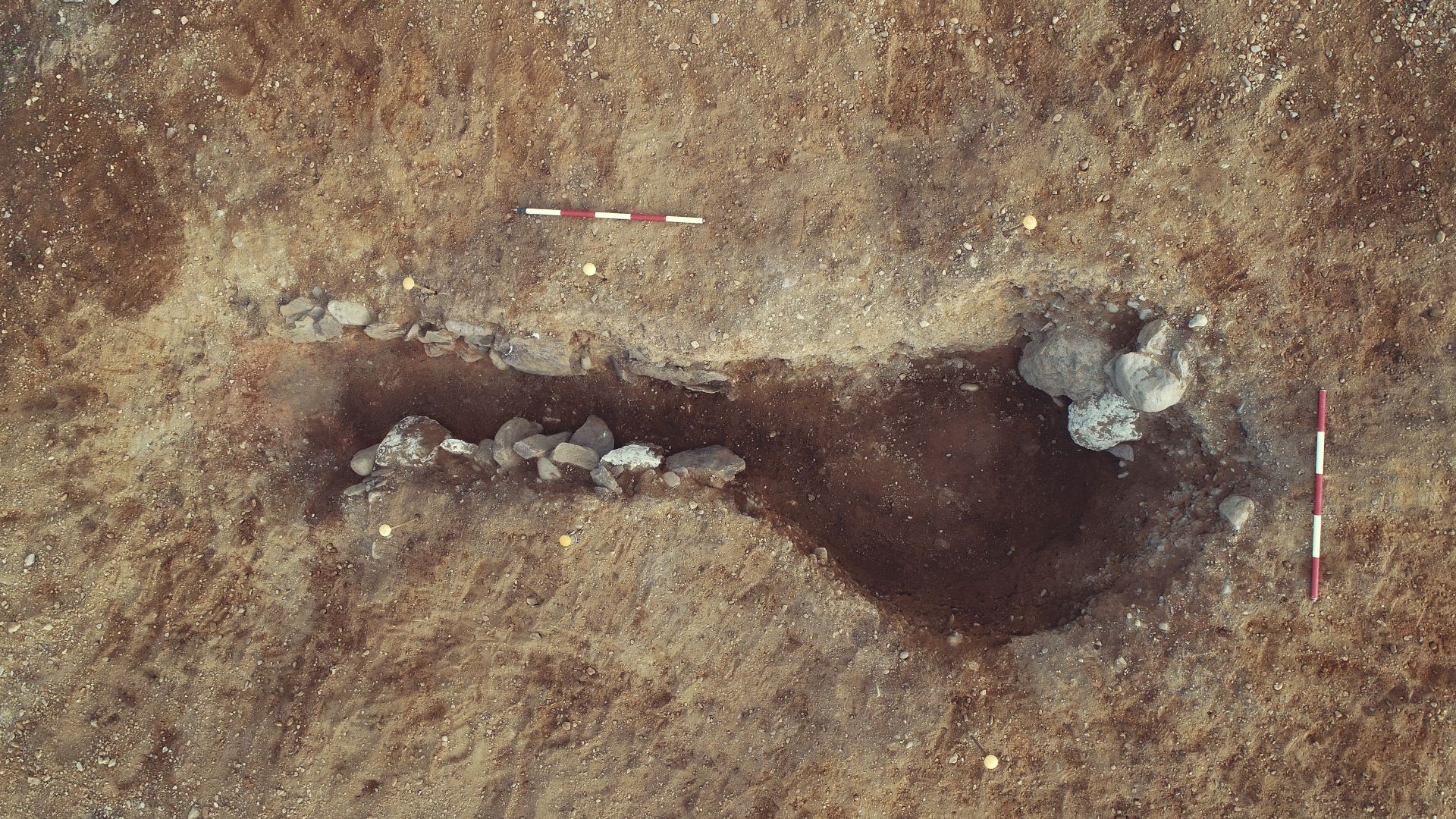
• Area C— A corn-drying kiln and six pits
• Area D— Four pits and two further pits or possible post-hole
Phase 2 (Area F)
• A total of 19 pits
• Three possible pits or post-holes
• Five post-holes
• One pit/post-hole
• Five stake-holes
• Possible kiln/charcoal-production pit
• Ditch or linear feature
• There were also instances of agricultural furrows

