2024:040 - KILL-SAINT-ANNE/CORRIN/BALLINVARRIG EAST AND CLYKEEL, Cork
County: Cork
Site name: KILL-SAINT-ANNE/CORRIN/BALLINVARRIG EAST AND CLYKEEL
Sites and Monuments Record No.: N/A
Licence number: 24E0123
Author: Jennifer McCarthy
Author/Organisation Address: Unit 2, Europa Enterprise Park, Midleton, Co. Cork. P25 TV25
Site type: Excavation - miscellaneous
Period/Dating: Multi-period
ITM: E 583661m, N 591467m
Latitude, Longitude (decimal degrees): 52.074900, -8.238348
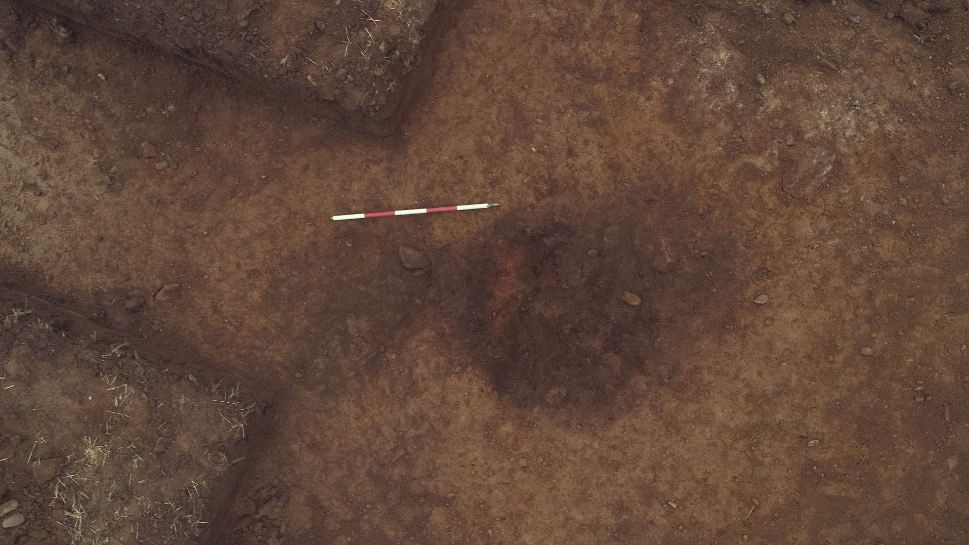
A programme of archaeological test-trenching was undertaken at four sites near Rathcormac, Co. Cork (Kill-Saint-Anne/Corrin/Ballinvarrig East and Clykeel). These works were undertaken as part of a proposed solar farm development. The proposed development is centred on ITM coordinates 583621/691409, 582530/591576, 582549/593613, 582630/593275.
Geophysical surveys were undertaken the results of which informed the layout of the trenches. Trenches targeted geophysical anomalies of archaeological potential, along with any proposed ground reduction areas for the development (access roads, transformer locations, site compounds etc.)
Testing comprised the excavation of 50 trenches excavated within the footprint of the proposed development to assess the potential for subsurface archaeological remains.
The following areas of archaeological origin were identified:
Ballinvarrig East
Eight pits and five post-holes.
Clykeel North
A single-ditched curvilinear enclosure, six pits, a levelled burnt mound, and a pit filled with burnt mound material.
Corrin/Kill St. Anne North
A possible kiln and six pits.
Kill-St-Anne North
A bivallate enclosure.

