2023:377 - MODELIGO, SCART & CHURCHQUARTER, Waterford
County: Waterford
Site name: MODELIGO, SCART & CHURCHQUARTER
Sites and Monuments Record No.: WA022-026001
Licence number: 23E0003
Author: Niall Gregory, Gregory Archaeology
Author/Organisation Address: Dunburbeg, Clonmel Road, Cashel, Co. Tipperary
Site type: No archaeology found
Period/Dating: N/A
ITM: E 617214m, N 599428m
Latitude, Longitude (decimal degrees): 52.146433, -7.748485
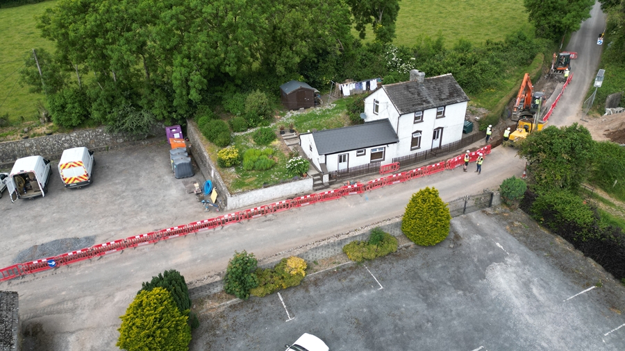
Archaeological monitoring took place of the rehabilitation and installation of new mains and all the associated assets; decommissioning of the existing water mains and all the associated assets took place between 1 and 8 June 2023. These works were preceded by a cultural heritage assessment, in September 2022, which recognised the requirement for archaeological monitoring of the scheme.
The northernmost 250m of the scheme, from north of Modeligo Handball Alley to south of Modeligo church and graveyard (WA022-026001 and WA022-026002), was archaeologically monitored.
The works involved mechanical excavation of a trench to accommodate new water mains throughout its entire length. The trench was excavated with the use of a V-shaped bucket. It was 0.6–0.9m in width at ground level, which narrowed to 0.2m at its base. The trench was 1.1–1.2m in depth.
No archaeology was encountered.

