2023:575 - BREHONY'S BOG, Monaincha, Tipperary
County: Tipperary
Site name: BREHONY'S BOG, Monaincha
Sites and Monuments Record No.: N/A
Licence number: 23E0462
Author: Liam Coen c/o Courtney Deery Heritage Consultancy
Author/Organisation Address: Lynwood House, Ballinteer, Dublin 16
Site type: No archaeology found
Period/Dating: N/A
ITM: E 616611m, N 687747m
Latitude, Longitude (decimal degrees): 52.940268, -7.752878
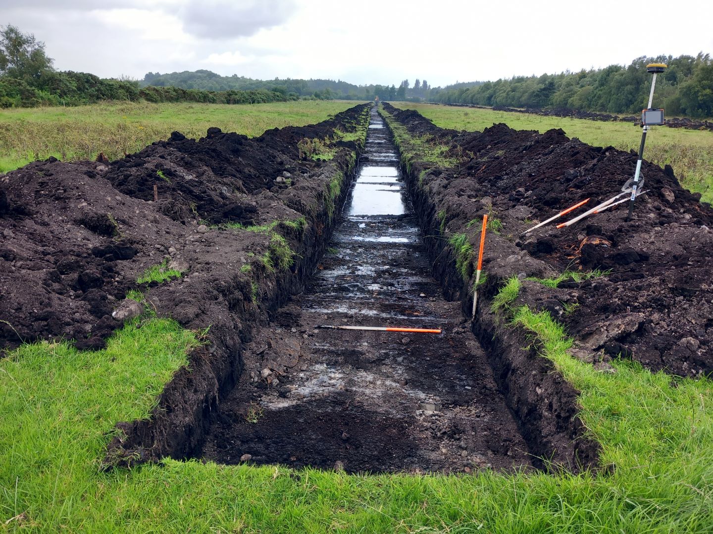
Test excavations took place on a site known as Brehony’s bog, Monaincha, Co. Tipperary. The test excavations were undertaken to inform a planning application for a proposed solar farm development. Four trenches, totalling 1530 linear metres, were excavated under constant archaeological supervision using a 13-ton mechanical excavator fitted with a grading bucket. The aim of the test excavation was to assess the general archaeological potential of the suitable parts of the development site, i.e. the pasture fields to the north, excluding the surfaced yard areas and areas milled of peat down to mineral soil levels.
Deep peat deposits were encountered under the sod layer in the eastern parts of the fields and trenches were only excavated to a maximum depth of 1.2m in these areas. Otherwise, an undulating grey stoney subsoil was revealed, underlying a sod layer only 0.1m in depth at its shallowest points. The first edition OS map recorded trees in this area and several large buried roots were encountered. No features, finds or deposits of archaeological significance were identified during the course of testing.

