2023:026 - KINTOGHER, Sligo
County: Sligo
Site name: KINTOGHER
Sites and Monuments Record No.: SL008-088
Licence number: 22E0967
Author: Eoin Halpin, AHC Ltd.
Author/Organisation Address: 36 Ballywillwill Road, Castlewellan Co Down BT31 9LF
Site type: No archaeology found
Period/Dating: N/A
ITM: E 567894m, N 841024m
Latitude, Longitude (decimal degrees): 54.316940, -8.493447
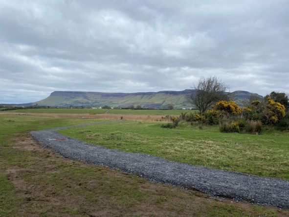
Sligo County Council proposed to undertake the development of an extension to the existing Rachcormack trail consisting of a 900m loop running south from the end of the existing trail, skirting around the edge of Kintogher rath (SL008-088—-) and running to the edge of the limestone scarp. It will cross the southern edge of the field before returning north around the perimeter of the field before rejoining the original trail. The route is a mixture of improved and unimproved grassland and scrub.
Archaeological monitoring took place between 31st January and 1st March 2023. Nothing of archaeological interest was noted.
The agreed revised engineering method statement which saw terram laid directly on the exiting ground surface overlaid with the gravel, meant that there was no disturbance to the present ground surface and consequently no disturbance to any potential archaeological deposits.
The trail path was laid down in an arc around the west side of the rath SL008-088—-, maintaining a buffer zone between the visible edge of the monument and the line of the path. Once again as the terram was laid down on the existing ground level, with the gravel laid on top, there were no impacts or disturbance to any potential features or deposits associated with the rath.
Works are now complete, with the trail open to the public.