2023:006 - KNOCKNAREA, Sligo
County: Sligo
Site name: KNOCKNAREA
Sites and Monuments Record No.: SL014-076
Licence number: 22E0878
Author: Eoin Halpin, AHC Ltd.
Author/Organisation Address: 36 Ballywillwill Road, Castlewellan Co Down BT31 9LF
Site type: No archaeology found
Period/Dating: N/A
ITM: E 562306m, N 834614m
Latitude, Longitude (decimal degrees): 54.258964, -8.578519
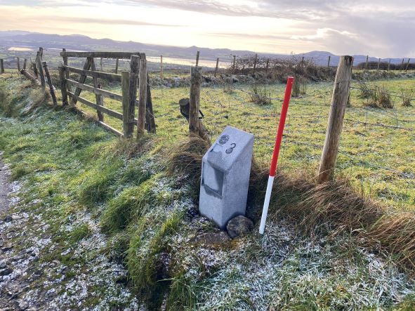
The iconic Queen Maeve’s cairn, Miosgan Meadhbha (‘Medb’s heap’) which sits on the summit of Knocknarea Mountain (310m), attracts over 100,000 visitors a year. Sligo Co. Council has developed a circular walking trail around the summit of the mountain. Such is the popularity of the walk that for health and safety reasons and to assist mountain rescue, a series of 26 numbered way-maker posts are being installed approximately every 250m. Each was located within a 300mm by 350mm by 300mm deep foundation pad.
The way markers through and along forestry trails on the north and west sides of the hill were located in previously disturbed ground as were the markers up the Primrose Grange carpark track and the ‘GAA’ track located on the western slopes.
Five markers were located across the flat-topped summit of the mountain and the small foundation pads for each of these were hand-excavated. Nothing of archaeological interest was found in any of the pads or in the excavated spoil.