2023:249 - LIMERICK: New Road/Pennywell Road and Old Clare Street, Irishtown, Limerick
County: Limerick
Site name: LIMERICK: New Road/Pennywell Road and Old Clare Street, Irishtown
Sites and Monuments Record No.: LI005-017
Licence number: 23E0377 & 23R0236
Author: Graham Hull, TVAS (Ireland) Ltd.
Author/Organisation Address: Ahish, Ballinruan, Crusheen, Co. Clare
Site type: Historic town
Period/Dating: Multi-period
ITM: E 558420m, N 657220m
Latitude, Longitude (decimal degrees): 52.664562, -8.614690
Test trenching and metal detection took place on the site of a proposed student accommodation development at the junction of New Road/Pennywell Road and Old Clare Street, on the eastern edge of Limerick City. The site lies entirely within the Zone of Notification for the historic city of Limerick (LI005-017). The proposed site is currently occupied by a number of upstanding buildings, including a commercial premises, an asphalt parking area/yard and associated warehouse and storage sheds. Also standing on the site is a derelict one-story dwelling and associated yard and outbuildings.
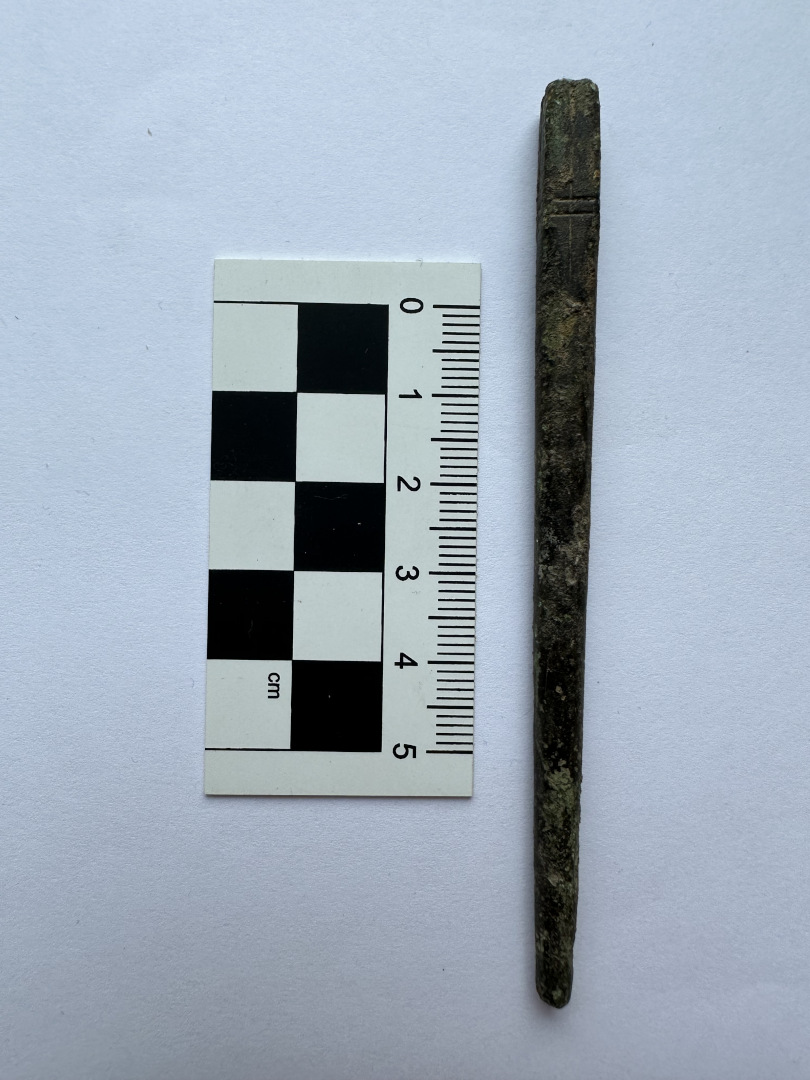
Due to the presence of numerous upstanding buildings on the site, the area available for test trenching was limited to the asphalt parking area/yard. Two test trenches were excavated, each 1.2m wide, with a total length of 25.3m (13.5m and 11.8m). Archaeological features, deposits and artefacts were revealed in both trenches.
Trenching identified a large linear feature, a probable ditch that may represent part of the 17th-century siege defences outside the Irishtown walls, although with the limited information gleaned from test trenching it is not possible to ascertain which side of the conflict these defences would have belonged to, the besiegers or the besieged inhabitants. Several deposits overlaying the ditch represent occupational activity, domestic refuse and levelling of the site in the decades after the Williamite war. Later features relating to 19th– and 20th-century occupation were also noted.
Trench 1, in the north-eastern part of the proposed development site, revealed two large ditches and a number of abutting and overlaying deposits. The most substantial feature on the site was a large ditch, likely aligned from south-west to north-east and observed to be approximately 7.2m wide and over 1.1m deep. The basal fills are likely to have formed by initial silting and gradual infilling in the years after ditch construction, with refuse being deposited into the open feature; finds include 17th-to 18th-century pottery. Above these silting layers are sterile deposits that appeared to represent deliberate backfilling of the ditch, presumably with the original bank material. Pottery from these layers was dated to the 17th to 19th centuries and also found were two pieces of glaze drip that suggests pottery manufacturing. The upper ditch fill at the northern side is rich organic material with 18th– to 19th-century pottery, further infill of refuse. The overall size and depth of Ditch 1, and the probability that it had a bank that was later pushed back into the ditch, suggest a possible defensive function. A portion of a second linear feature was also identified.
Several deposits were identified overlaying the large ditch, representing activity in the area after it was backfilled and the land reclaimed. Of particular note are two deposits containing a large amount of broken pottery, very likely waste from a pottery manufactory dating to the later 18th century. Records from 1782 reference a pottery manufactory owned by a James Dundon located at Pennywell Road and it is highly likely that the pottery-rich deposits in the test trench relate to this premises.
Trench 2 on the opposite side of the yard in the northern half of the site contained features that, from material evidence (pottery), can be dated to between the 17th and 20th centuries. It is worth noting that the large ditch in Trench 1 was not seen in Trench 2. The earliest feature appeared to be an 18th–19th-century gully at the southern end of the trench with perhaps a contemporary soil layer across the northern part. Later features in Trench 2 are a drain and a ditch, the latter corresponding with a plot boundary shown on the Ordnance Survey map surveyed in 1900. A possibly associated soil layer across the trench contains 19th– and 20th-century waste and likely represents garden soil from the nearby terraced houses of Roxtown Terrace which face onto Old Clare Street.
Considering only a small percentage of the site could be archaeologically assessed by test trenching, it was recommended that further, post-demolition, test trenching be undertaken.