2023:188 - DRUMKEEN, AUGHAGAULT, CALLAN, DRUMNACROSS, CALLANCOR, Donegal
County: Donegal
Site name: DRUMKEEN, AUGHAGAULT, CALLAN, DRUMNACROSS, CALLANCOR
Sites and Monuments Record No.: DG069-010
Licence number: 23E0368
Author: Zbigniew Malek, Archaeological Management Solutions
Author/Organisation Address: Fahy’s Road, Kilrush, Co. Clare
Site type: No archaeology found
Period/Dating: N/A
ITM: E 616518m, N 901583m
Latitude, Longitude (decimal degrees): 54.861802, -7.742719
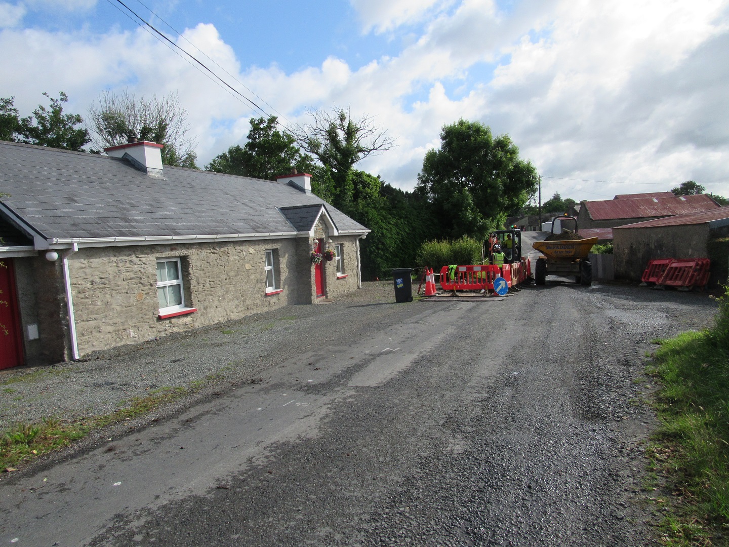
The Aughagault, Drumkeen scheme in Co. Donegal forms part of a larger nationwide Water Network Programme that is being undertaken by Uisce Éireann. The scheme, which is an exempted development, involved the laying of 1,272m of new water mains along the existing local road (L6734) conjoined with N13 at the south-western end of the scheme, and also included the decommissioning of 423m of existing pipeline. A new water pipeline was installed, mainly via directional drilling, but with sections installed via the open-cut trenching method for approximately 140m within Aughagault Big, Callan, Callanacor and Drumnacross townlands.
The archaeological monitoring was carried out along the easternmost 115m of the scheme within the Zone of Notification for clochán DG069-010 and as a precaution in the vicinity of potential limekilns, watercourses, culverts, and a site of well, due to the potential for archaeological remains to be present at these locations.
Excavation of eleven exploratory trenches (access pits and trial holes) measuring between 1.5–3.2m by 0.6–1m by 0.9–1.2m in depth and sections of open-cut trenches totalling approximately 140m were archaeologically monitored. The stratigraphic sequence in these trenches underlying the modern road surface comprised mostly built-up grounds, overlying various types of the natural subsoil that consisted of mid-brownish-yellow sandy silt; a mid-yellowish-grey clayey silt with moderate inclusions of sub-angular stone; a mid-orangish-brown sandy silt; light yellowish-grey sandy silt and yellowish-grey or yellowish-brown clay or natural deposits of peat.
In a section of open-cut trench located on the hill in the vicinity of the Zone of Notification (ZoN) of clochán DG069-010, the modern road surface overlaid subsoil comprised of yellowish-grey or yellowish-brown clay to a depth of 1.2m, or bedrock. It was noted that a short section within the ZoN for the clochán was previously disturbed by the installation of an existing water main pipeline.
No potential archaeological objects, features or deposits were noted during the archaeological monitoring. The only feature revealed was a potential modern stone drain in the vicinity of a potential limekiln in Callanacor townland.