2023:180 - DONEGAL: Drumroosk West, Milltown and Mullans, Donegal
County: Donegal
Site name: DONEGAL: Drumroosk West, Milltown and Mullans
Sites and Monuments Record No.: Historic town (Donegal; DG093-013)
Licence number: 22E0685
Author: Alan Healy and Ross Drummond, Archaeological Management Solutions
Author/Organisation Address: Fahy’s Road, Kilrush, Co. Clare, V15 C780
Site type: No archaeology found
Period/Dating: N/A
ITM: E 592801m, N 878725m
Latitude, Longitude (decimal degrees): 54.656649, -8.111564
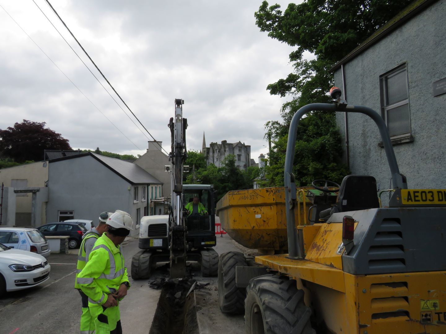
The Marian Villas, Donegal Town, Co. Donegal scheme forms part of a larger nationwide Water Network Programme that is being undertaken by Uisce Éireann. The Marian Villas scheme involved the installation of 491m of replacement/new water mains along existing road (including associated assets, fittings and transfer of service connections). The groundworks for the scheme consisted of a series of exploratory trenches (access pits) associated with the directional drilling installation method located along the unnamed roads. The southern 110m of the scheme consisted of an open-cut trenches.
One main trench (T1), two exploratory trenches (T2 & T3) and service tapping trenches were excavated during groundworks to facilitate connections, with one trench T1 intersecting the Zone of Notification of the historic town of Donegal (DG093-013). T2 and T3 were excavated to look for services serving the property behind Orange Hall.
The stratigraphic sequence for all trenches comprised a 0.15–0.2m layer of modern road surface, sealing a 0.2–0.4m layer of hardcore, overlying a maximum depth of 0.8m of bedrock/mottled mid-yellowish grey clay down until the required average depth of 1.2m was reached.
T1 comprised an open-cut trench measuring c.110m in length, 0.7m in width and 1.2m in depth. This trench was excavated down the hill and ended with a connection within the Zone of Notification of Donegal Town.
Both trenches T2 and T3 were excavated in search of services serving property to the rear of the Orange Hall. T2 was located beside the front of the Orange Hall. T3 was excavated at the location of the modern stone paving (CH13).
The service tapping trenches comprised 0.15–0.2m layers of modern road surface over hardcore to a full depth of 0.6m and 0.5m in width.
No potential archaeological objects, features or deposits were revealed in any of these trenches.