2023:550 - KILGOBNET, Clondrohid, Cork
County: Cork
Site name: KILGOBNET, Clondrohid
Sites and Monuments Record No.: N/A
Licence number: 23E0846
Author: Tony Miller
Author/Organisation Address: Tooreen, Dunmanway, Cork
Site type: No archaeology found
Period/Dating: N/A
ITM: E 527150m, N 576934m
Latitude, Longitude (decimal degrees): 51.939737, -9.059530
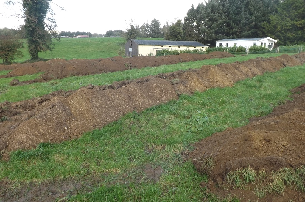
Pre-planning discussions led to the requirement of an archaeological impact assessment to be carried out on the developer’s land in Kilgobnet, west of Clondrohid. A new dwelling house was being planned in proximity to a cluster of monuments connected with an early ecclesiastical enclosure (CO059-065001-4) including a burial ground and two bullaun stones. The development site consisted of a south-facing field of improved pasture. A preliminary geophysics survey was carried out (23R0358) followed by targeted test excavation.
Eight test trenches were excavated over the footprint of the dwelling house. Between 0.2–0.4m of a mid-brown loamy topsoil overlay orange/yellow boulder clay. The entrance to the development did not require testing as it made use of an existing farm track. No archaeology was found.