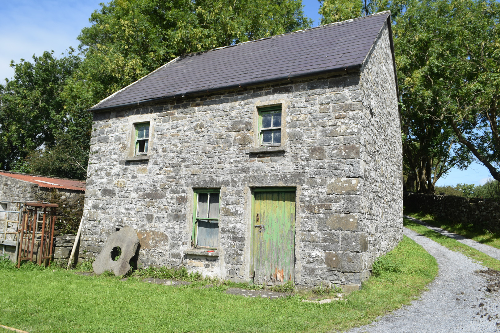
2023:250 - LAHINCH: Derry Mill Cottage, Caheraderry, Clare
County: Clare
Site name: LAHINCH: Derry Mill Cottage, Caheraderry
Sites and Monuments Record No.: CL015-067
Licence number: 23E0561
Author: Kate Taylor, TVAS (Ireland) Ltd
Author/Organisation Address: Ahish, Ballinruan, Crusheen, Co. Clare
Site type: Water mill - unclassified
Period/Dating: Post Medieval (AD 1600-AD 1750)
ITM: E 511465m, N 691130m
Latitude, Longitude (decimal degrees): 52.963624, -9.317879
Archaeological test trenching was undertaken in advance of proposed house refurbishment, outbuilding redevelopment and construction of an associated waste water system at Derry Mill Cottage, Caheraderry, Lehinch. The proposed development site consists of an existing residence, mill and outbuildings on a relatively level area with a garden sloping down to the south-east to the river edge. At the north-east is a field in pasture that slopes upwards to the north-west towards the public road. Eight trenches were excavated across the site, targeted at areas that would be impacted by the proposed works. The trenches ranged in length from 1.2m to 17.1m
The mill is a Recorded Monument (CLl015-067) and is also included on the Record of Protected Structures (RPS) as ‘Derry Mill’ RPS No. 557. A survey of the mill carried out in 2008 for the Industrial Heritage Review of Co. Clare appraised the mill as likely dating to the 1650-1850 period and provides the following description: “Former two-storey, two-bay mill house with remains of mill race to west side, now in use as an outbuilding, multi-period building, shown on Down Survey Map, on 1842 Ordnance Survey map as Cloth Mills and 1916 Ordnance Survey map as Derry mill (corn). This small mill is of archaeological and technical interest as it still retains some timber milling machinery to the interior”.
Trenches in a pasture field at the east of the site revealed topsoil directly overlying natural subsoil. No archaeological material was revealed in this area, which is the location of the proposed percolation area, waste water treatment system and solar array.
Test trenches were also excavated in the locations of the proposed soakaways to the north and south of the cottage. Again, no archaeological material was revealed.
Trenches adjacent to the existing cottage in the yard next to the outbuilding that is proposed for redevelopment revealed imported gravel used to create the yard surface.
The only feature of archaeological potential revealed during trenching was the tail race of the extant mill (CLl015-067). A trench excavated across the yard south of the mill, on the route of a proposed waste water pipe, crossed the line of the mill tail race. The tail race is a deep below-ground culvert that takes water from the mill wheel pit, south beneath the yard, to discharge into the river. The culvert is accessible and its route is known; trenching revealed that the upper surface of the mortared flagstone cap lies immediately beneath the gravel of the yard surface at a depth of just 0.16m. As the purpose of the testing was to identify the depth of cover sealing the tail race in order to assess potential development impact, no further excavation took place. Given the size and depth of the culvert it is highly likely that a large construction cut would be required. A possible line of the eastern edge of the cut was noted in the test trench, approximately 2m wider than the capstones to the east. It was recommended that the proposed waste water pipe route be altered to avoid impact on the tail race.
A separate built heritage survey carried out by Colin Rynne of an outbuilding proposed for redevelopment, concluded that the outbuilding is likely to date to the mid-19th century, with later additions, and was probably associated with the house rather than the mill. A test trench excavated within the western end of the outbuilding revealed a laid flagstone floor. It is proposed that the flags be lifted to allow the laying of waterproof membrane and required services and then relaid in their original position.
Archaeological monitoring during construction was recommended.

