2022:911 - ARKLOW: Long Sea Outfall, Arklow WWTP, Ferrybank, Wicklow
County: Wicklow
Site name: ARKLOW: Long Sea Outfall, Arklow WWTP, Ferrybank
Sites and Monuments Record No.: N/A
Licence number: 22E0397, 22D0050, 22R0111
Author: Rex Bangerter, ADCO
Author/Organisation Address: No. 2, Main Street, Bennettsbridge, Co. Kilkenny
Site type: No archaeology found
Period/Dating: N/A
ITM: E 725807m, N 673250m
Latitude, Longitude (decimal degrees): 52.795560, -6.134490
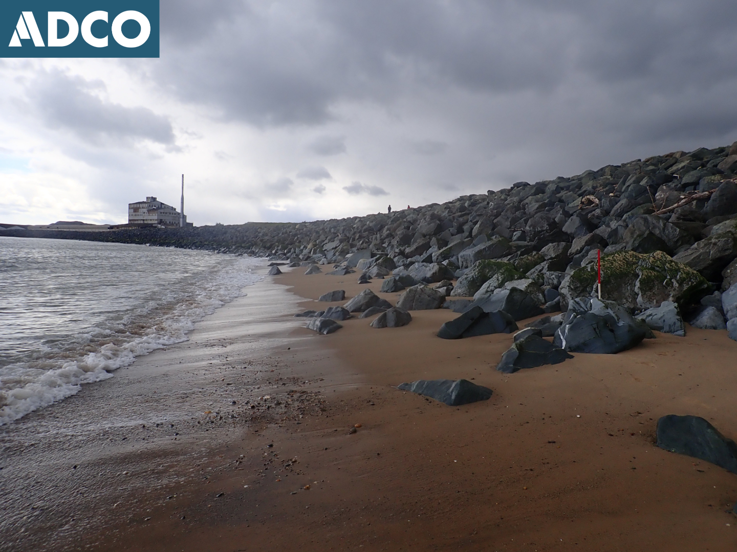
A Long Sea Outfall (LSO) was installed as part of the Arklow Waste Water Scheme. The LSO extends east-northeast from the foreshore at Ferrybank, to a point 195m north-northeast of the mouth of the Avoca River; ITM 725807E, 673250N (Landfall)– 726190E, 673391N (Terminus).
It comprises a 630mmØ HDPE pipe with equidistantly spaced concrete collars that extends seaward for a distance of 930m. Six diffuser units are positioned along the outfall terminus. Construction of the LSO required capital dredging of the outfall route to a minimum depth of 2m below the existing seabed surface; dredge depth of -14mOD Malin Head.
Archaeological mitigation, in the form of archaeological monitoring, coupled with underwater archaeological (dive) inspection, was conducted for the duration of the dredging works.
Dredging operations were completed between 1 June and 15 June 2022. The dredging contractor was Van Oord.
The existing harbour area, including the northern shoreline from which the LSO extends, comprises made ground, reclaimed from the Avoca estuary. Development of this shore-side area (north of the main channel) commenced in the late nineteenth century with the establishment of Arklow Chemical Works. The site was later adapted to produce cordite for Kynoch, the development of the latter munitions factory being was associated with further reclamation of the area.
In the most part, the seabed surrounding the LSO is composed of gently undulating silty-sand, with ripples that measure between 1m and 5m in width and are upstanding c. 300mm from the bed-level of the seabed, the size/frequency of which increases as you move eastwards (seaward). Frequent crushed shell inclusions and patches of gravel are also present, along with occasional sub-angular cobbles and boulders. Fine-course sand comprises the seabed area across the inner area. Moving seaward along the LSO route, the sand becomes increasing silty and the aforementioned gravel patches more frequent.
The monitoring process was comprehensive in nature. However, no items of archaeological or historical significance were recovered as part of the monitoring process; all items being of twentieth century or later date.
Excavation, Dive Survey, and Detection Device Licences were in place for the duration of the archaeological monitoring; DHLGH Licence numbers 22E0397, 22D0050, and 22R0111.