2022:039 - TOGHER BEG, Wicklow
County: Wicklow
Site name: TOGHER BEG
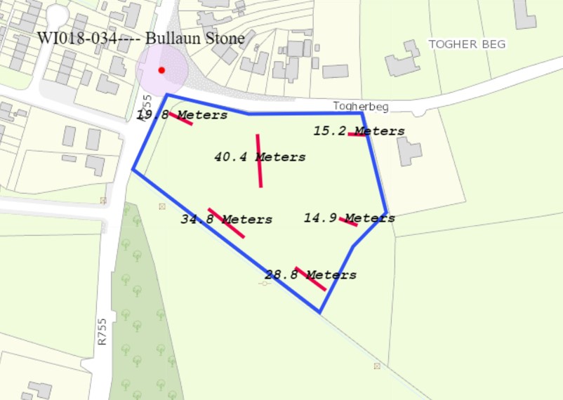
Sites and Monuments Record No.: WI018-034
Licence number: 22E0255
Author: Yvonne Whitty
Author/Organisation Address: Unit 10 Riverside Business Centre Tinahely Wicklow
Site type: No archaeology found
Period/Dating: N/A
ITM: E 719108m, N 703252m
Latitude, Longitude (decimal degrees): 53.066603, -6.222768
Targeted test trenching was carried out based on the results of a geophysical survey at a proposed development site at Togher Beg, Roundwood, County Wicklow. The development is a greenfield site.
There are no recorded monuments within the application area. However, a recorded ‘Bullaun stone – present location’ (WI018-034) lies immediately outside the north-western corner of the proposed development site. A cluster of monuments is located c. 550m to the west; these comprise a ‘Church’ (WI018-001001), ‘Ecclesiastical enclosure’ (WI018-001002), ‘Font’ (WI018-001003) and two ‘Bullaun stones’ (WI018-001005 & WI018-001006).
The site was subject to geophysical survey under licence 22R0031 in February 2022. The geophysical survey was largely dominated by parallel linear trends which are suggestive of ridge and furrow cultivation. A possible former field division and trackway were also identified running approximately east-west. Possible pit-type features were evident, particularly within the eastern half of the dataset which may or may not be of archaeological significance.
Test trenching under licence of these trends on the 22nd and 23rd April 2022 has determined the absence of archaeological remains at the proposed developments site.