2022:477 - N5, Ballaghaderreen to Scramoge Road Project, Roscommon
County: Roscommon
Site name: N5, Ballaghaderreen to Scramoge Road Project
Sites and Monuments Record No.: N/A
Licence number: E005373; Ministerial Direction No.: A077
Author: Alan Healy, Archaeological Management Solutions
Author/Organisation Address: Fahy’s Road, Kilrush, Co. Clare, V15 C780
Site type: No archaeology found
Period/Dating: N/A
ITM: E 591706m, N 785174m
Latitude, Longitude (decimal degrees): 53.816023, -8.125948
Archaeological test excavations were carried out on behalf of Roscommon County Council and completed in August 2022. The works were undertaken as part of Stage (i) of the Archaeological Services Contract prior to the commencement of construction of the N5 Ballaghaderreen to Scramoge Road Project, Co. Roscommon All works were carried out in accordance with Ministerial Directions A077.
The archaeological works at AR-105 Cuilrevagh and AR-107 Cloonradoon were two areas which had been inaccessible/unavailable during this initial phase of the N5 Ballaghaderreen to Scramoge Road Project investigations due to adverse ground conditions, a large stockpile of soil and site character.
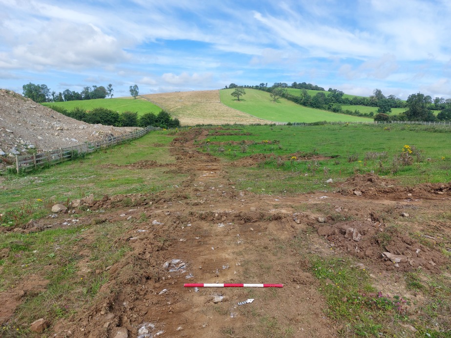
A total of eighteen test trenches totalling 289 linear metres were excavated within AR-105 (Cuilreavagh). No trace of any archaeological remains were encountered. The topsoil ranged from 0.05–0.4m deep and the underlying natural subsoil consisted of a firmly compacted light yellowish-brown silty clay with limestone bedrock visible in patches. (591706, 785174 ITM)
A total of 28 test trenches and test pits were excavated within AR-107 (Cloonradoon) totalling 236 linear metres. No trace of any archaeological remains were encountered. The topsoil ranged from 0.6m to 1.2m deep (of peat). The underlying natural subsoil consisted of light-grey clay and protruding bedrock. (594748, 781139 ITM)