2022:666 - HILL OF LLOYD, Commons of Lloyd, Meath
County: Meath
Site name: HILL OF LLOYD, Commons of Lloyd
Sites and Monuments Record No.: ME016-054
Licence number: E004529; C626
Author: Niall Roycroft
Author/Organisation Address: C/o Meath County Council
Site type: Hillfort
Period/Dating: Modern (AD 1750-AD 2000)
ITM: E 672167m, N 776455m
Latitude, Longitude (decimal degrees): 53.732747, -6.906262
Meath County Council replaced an existing 85m length of concrete post-and-rail fencing with new metal ‘estate’ fencing. The existing fence included a kissing gate hung on wooden posts and this will be replaced with a new kissing gate and an adjacent double vehicle access gate.
The existing concrete post-and-rail fence is not shown in 1960’s aerial images and presumably dates to the 1970s when the Hill of Lloyd ‘People’s Park’ was extensively landscaped. This landscaping included terrace walling around the Spire of Lloyd, footpaths, a lower parking area, a paved vehicle access, a formalisation of a parking and ceremonial area with new walling at the Graveyard, tree planting and the addition of a grotto. Previous to these works, the area was tilled fields (as seen by ridge and furrow from aerial photos taken by Leo Swan) apart from the Graveyard on the hilltop, which was originally developed as a burial ground for the Kells Workhouse that was located at the base of the hill on the Kells side.
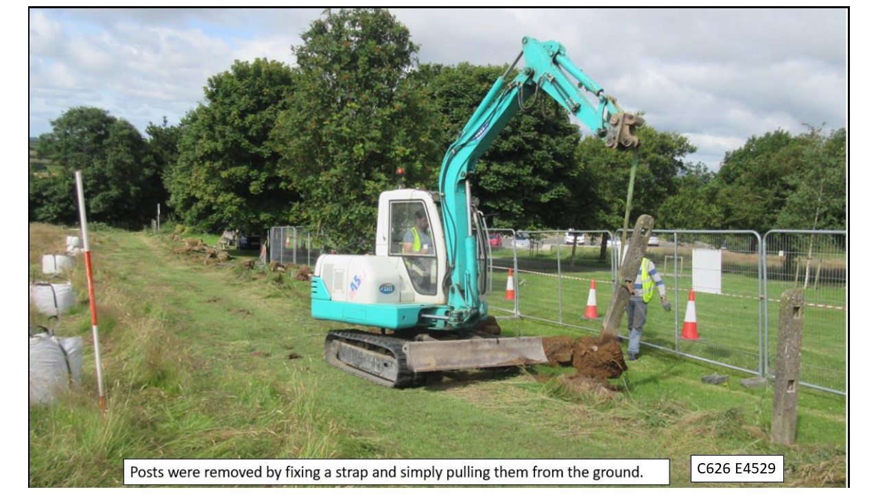
The existing fence run was of 35 holes with 2.4–2.45m between centres. The monitoring showed that the original post-holes varied in size from 0.6m x 0.6m–0.8m and were all at least 0.6m deep. This meant that the undisturbed ground between the original posts was around 1.8m. The new fence involved the excavation of around 45 post-holes (0.3m x 0.3m x 0.5m deep) which were designed to reuse as many of the original post-holes as possible. The size of the original holes seems to have been the result of the holes being dug into glacial subsoil, which was full of large, water-rounded, post-glacial irregularly-shaped cobbles. Many of these stones were reused as part of the concrete pad base packing around the original concrete posts. Once pulled out of the ground with a strap, the concrete bases had to be broken off with a mechanical breaker.
The 2022 works showed that topsoil, including present turf level, was 0.3m deep containing much fencing wire and some fencing nails, a few horseshoe nails, a roll of lead that was probably a makeshift wheel weight, a 1990 Irish two pence coin and some sherds of modern white ware jars. There were no finds of an archaeological nature and no archaeological features were seen.
In the south-west end of the fence run, adjacent to the site boundary, a significant area of modern dumping was encountered. This dumping had been thrown here after the original concrete post-and-rail fence had been built. Much of the dumping consisted of building stones and yellow mortar from building alterations or demolitions. This was mixed with soils, stones and a considerable amount of ‘litter bin’ or ‘picnic’-type litter of crisp packets, plastic bags, bottles etc.
One item of interest from this dump was a section of iron railings. The section is 600mm long with a flat base 70mm wide. The base has a lap joint at one end to tie into the next piece. The base has five holes in it; holes one and five overlap with adjoining sections. Holes two and four still contained vertical baluster rails that are squared 25mm and set on edge to the base edge. The rail balusters have pinches at the top so that they could slot through a top rail horizontal. The base plate has a curve in it (around 18–20mm arc over the 600mm length) which gives an arc that might be part of a circle 7–8m in diameter.
This dump may partly come from works on the Tower/Spire of Lloyd (RPS MH016-123/NIAH 14401601), and these works included a refurbishment of the base step sweeps. This refurbishment included removing the original step surfaces and remaking these surfaces in concrete. The associated railings have been replaced—apparently more than once—and a large cage was built at the front door. The cage arches over the step landing area to protect any user from anything falling from above.
From anecdotal evidence, the Tower was in a poor condition in the mid-1970s and at one stage the topmost ‘lantern’ blew off and landed in the field. Since the lantern originally had lead-lined glazing, the lead soon disappeared. At this time, the observation area was open, and was also noted to be in poor condition with bits ready to fall off.
The lantern has since been rebuilt and the observation area enclosed in glazing (a plaque at the front door notes the Park opening in 1992). With this refurbishment and enclosed observation area above, the need for the cage around the lower door may be questioned.
The Sub-number was extended to cover resurfacing works for the vehicle access track from the public carpark to the graveyard—but these works did not happen in 2022 and are pending.