2022:433 - RATHMOYLAN: The Glebe, Meath
County: Meath
Site name: RATHMOYLAN: The Glebe
Sites and Monuments Record No.: N/A
Licence number: 21E0351
Author: Paul Duffy, c/o IAC Archaeology Ltd.
Author/Organisation Address: Unit G1 Network Enterprise Park, Kilcoole, Co. Wicklow
Site type: No archaeology found
Period/Dating: N/A
ITM: E 679186m, N 749300m
Latitude, Longitude (decimal degrees): 53.487753, -6.806808
A programme of archaeological monitoring was undertaken during groundworks for the construction of the Glebe residential development at Rathmolyon, Co. Meath. The monitoring was carried in several phases between May and November 2021 by Christopher Coffey and Fergal Murtagh of IAC Archaeology.
Groundworks on site began with a central road strip from the north-west boundary running east to the site entrance. The road had an average depth of 0.4-0.5m with a max depth by the main road of 0.9m, where the site declines.
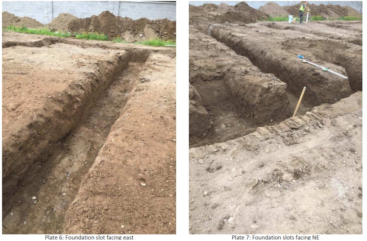
Excavation of the house foundations began in the north-west corner running east. The footprint of each house was stripped to 0.4m and ringed by the foundation trench of between 0.7–0.9m due to the undulating topography of the site from northwest to southeast. The average depth of topsoil was between 0.4–0.5m in the west, dropping to 0.7–0.8m in the east.
No features of archaeological significance were identified during groundworks associated with this development.

