2022:074 - CLONROOSK LITTLE, Mountrath Road, Laois
County: Laois
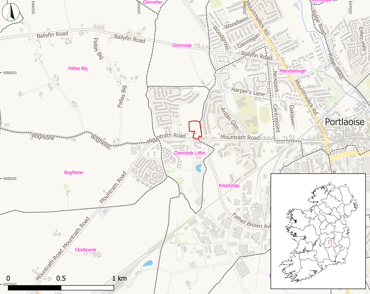
Site name: CLONROOSK LITTLE, Mountrath Road
Sites and Monuments Record No.: N/A
Licence number: 20E0699
Author: Alan Healy, Archaeological Management Solutions
Author/Organisation Address: Fahy’s Road, Kilrush, Co. Clare, V15 C780
Site type: No archaeology found
Period/Dating: N/A
ITM: E 645554m, N 698464m
Latitude, Longitude (decimal degrees): 53.034905, -7.320805
Archaeological monitoring of topsoil stripping was undertaken at a proposed residential development site on the northern side of the Mountrath Road, Clonroosk Little Townland, Co. Laois. The site measures 1.446 hectares and is located on the western outskirts of Portlaoise town, Co. Laois. The monitoring of topsoil stripping was carried out between 7 and 24 March 2022.
The topsoil on the site consisted of dark brown silty clay, measuring 0.15–0.35m in depth. The natural subsoil on the site consisted of mid-brown to light yellow brown clayey sand at the western and centre portion of the site and mid-brownish grey sandy clay at the east portion of the site. No potential archaeological finds, features, or deposits were noted during the archaeological monitoring. The only features revealed during the monitoring were several post-medieval/modern agricultural furrows and field drains. These features were orientated north-east/south-west, north–south, east–west and measured 0.2–0.6m in width by 0.02–0.2m in depth.