2022:399 - THE N77 BALLYRAGGET VILLAGE TO BALLYNASLEE ROAD IMPROVEMENT SCHEME, Kilkenny
County: Kilkenny
Site name: THE N77 BALLYRAGGET VILLAGE TO BALLYNASLEE ROAD IMPROVEMENT SCHEME
Sites and Monuments Record No.: N/A
Licence number: 22E0847 and 22R0360
Author: John Channing, c/o Archaeological Management Solutions
Author/Organisation Address: 12 Parliament Street, Kilkenny, R95 Y2HE
Site type: Excavation - miscellaneous
Period/Dating: Multi-period
ITM: E 643277m, N 673079m
Latitude, Longitude (decimal degrees): 52.806959, -7.358134
The N77 Ballyragget Village to Ballynaslee Road Improvement Scheme is located north of Ballyragget village in the townlands of Ballyconra and Ballynaslee, in County Kilkenny. The proposed development will consist of the realignment of a 2.44km section of the N77 to remove a bend immediately to the north of the Glanbia plant at Ballyragget, County Kilkenny. The proposed development will commence c.250m south of the Glanbia plant at Ballyragget and extend northwards to tie in to the recently completed N77 Ballynaslee Realignment Scheme.
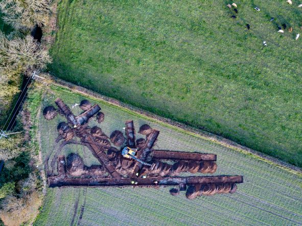
Test excavations took place in the townlands of Ballyconra and Ballynaslee approximately 2km north of Ballyragget and 5km south of Durrow, Co. Laois. The proposed realignment will largely extend through pasture fields that lie on the west side of the Nore glaciofluvial terrace to the west of the existing River Nore. The underlying bedrock of the locality comprises limestone calcareous shale massive. Previous geophysical survey of a portion of the route had been undertaken by Earthsound Ltd (Gimson & Hogan 2018, Licence No. 18R0092) and anomalies of possible archaeological significance were targeted by testing. One hundred and thirty-eight test trenches (aggregate length 3642 linear metres) were opened within 17 areas along the route of the proposed scheme. The following archaeological sites were identified:
Ballyconra 1, Post-medieval vernacular structures (CHS/10), ITM 643508, 672891
Ballyconra 2, Possible ring-ditch, ITM 643316, 673183
Ballyconra 3, Possible relict field system, ITM 643370, 673105
Ballyconra 4, Curvilinear feature, ITM 643399, 673082
Ballyconra 5, Post-medieval vernacular structure (CHS 05), ITM 643801, 672409
Ballyconra 6, Post-medieval vernacular structure (CHS 19), ITM 643266, 673207
The possible ring-ditch at Ballyconra 2 matches a geophysical anomaly. A second possible ring-ditch, 130m east of Ballyconra 2 and outside the proposed road corridor, was identified by both geophysical survey and aerial photograph (KK004-040).
The possible relict field system, Ballyconra 3, may relate nearby field system (KK004-013003) some 480m to the east. The curvilinear feature, Ballyconra 4, requires further investigation for any accurate interpretation.
The vernacular structures, Ballyconra 1, 5 and 6, are recorded on historic mapping.
Further mitigation is recommended.