
County: Galway Site name: Ballydavid South & Carrowntober West
Sites and Monuments Record No.: None Licence number: 22E0140
Author: Dominic Delany
Site type: No archaeology found
Period/Dating: —
ITM: E 550511m, N 729638m
Latitude, Longitude (decimal degrees): 53.314698, -8.742682
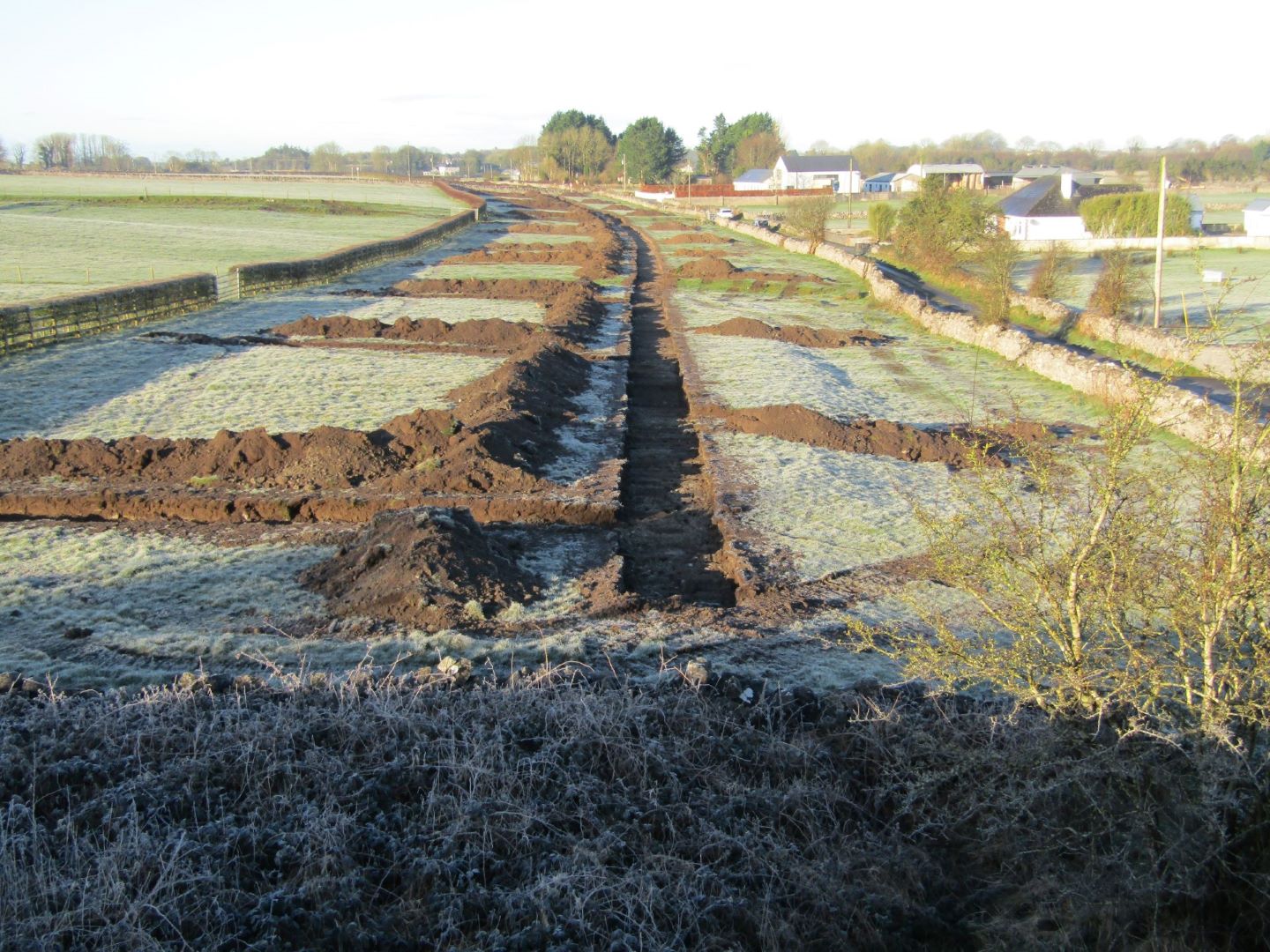
Pre-development testing was carried out along the route of the proposed Athenry Northern Relief Road at Ballydavid South and Carrowntober West, Co. Galway between 28 February and 10 March 2022. The route comprises approximately 1.5km of roadway and a roundabout at the junction with L3107, linking into a previously constructed section of the Athenry Northern Relief Road at Cullairbaun. The site is located 1.5-2km north of the medieval town of Athenry (GA084-001). There are no recorded monuments in the immediate vicinity of the development but there are two items of architectural heritage interest on the route of the proposed road; the railway bridge over the L7125 and an adjacent small round-arch bridge carrying a stream under the railway embankment.
The testing methodology consisted of centreline testing with offsets at 15m intervals. The disused line of the ‘Athenry and Tuam Railway’ extends north/south across the route of the proposed road, dividing the poorly-drained land bordering the stream to the east of the railway line from the better-drained pasture to the west. In the lands to the west of the railway line there was generally 0.3-0.4m of silty topsoil over orange/brown silty/clayey sand subsoil and grey sand, gravel and stone while to the east there was generally 0.2m of peaty topsoil over grey silty sand.
Features uncovered during testing included roads, drains and field walls associated with a former clachan settlement, which was located on high ground to the south of the proposed new road. These features, which are marked on the 1838 ordnance survey map, are clearly visible on aerial images and survive as slight earthworks on the field surface. A broad ditch-like feature (Wth 3.2-4.4m; D 0.3-0.6m) was uncovered to the east of the clachan roads, close to the railway line. The feature extended downslope from south-west to north-east, decreasing in width and depth as it descended.
Investigations revealed an irregular cut and sterile fill. A number of land drains were uncovered across the tested area, particularly in the poorly-drained lands to the east of the railway line where investigations revealed broad shallow cuts, 1-2m wide and 0.25-0.4m deep, containing single fills of peaty soil. No archaeology was found.
Dominic Delany & Associates


