2022:913 - DUBLIN: Dublin Port MP2 Project, Capital Dredging, Season 1; Berth 52/53, and Northern/Southern Widening Areas, Inner Channel Slopes, Dublin Port, Dublin
County: Dublin
Site name: DUBLIN: Dublin Port MP2 Project, Capital Dredging, Season 1; Berth 52/53, and Northern/Southern Widening Areas, Inner Channel Slopes, Dublin Port
Sites and Monuments Record No.: N/A
Licence number: 23E0892, 23D0107, 23R0469
Author: Rex Bangerter, ADCO
Author/Organisation Address: No. 2, Main Street, Bennettsbridge, Co. Kilkenny
Site type: Excavation - miscellaneous
Period/Dating: Modern (AD 1750-AD 2000)
ITM: E 720752m, N 734281m
Latitude, Longitude (decimal degrees): 53.344956, -6.186518
The MP2 project is the second major infrastructure development within the Port Estate and forms part of Dublin Port’s Masterplan 2012-2040. The MP2 Project complements the preceding Alexandra Basin Redevelopment (ABR) project, providing capacity for growth in the Ro-Ro Lo-Lo modes (located on the north side and eastern end of the Port Estate), while providing suitable infrastructure for increasing numbers of ferry passengers. As part of the MP2 project, dredging was required on both the north and south sides of the Navigation Channel, as follows:
- Dredging of Berth 52 to a depth of -3m CD, west side of Northern Widening Area (NWA).
- Dredging of Berth 53 and associated channel widening (NWA) to a depth of -10.0m CD.
- Dredging of the Southern Widening Area (SWA) to a depth of -10m CD.
The dredging company appointed by Dublin Port Company was Van Oord, operating the backhoe dredger Razende Bol and the trailing suction hopper dredger (TSHD) Costa la Luz. Backhoe dredging was completed over a 52-day period, commencing 15 October 2022, and the TSHD was in operation for 23 days, commencing 2 November 2022.
Backhoe dredging was employed at Berth 52, dredging to a design depth -3m CD, and also facilitated the removal of upper seabed levels at Berth 53/Northern Widening Area (NWA) and across the Southern Widening Area (SWA), dredging to a maximum depth of -6m CD. TSHD operations removed the remaining (deeper) deposits, dredging to a design depth of -10m CD. NWA centrepoint coordinate ITM 720752E, 734281N and SWA centrepoint coordinate ITM 721037E, 733997N.
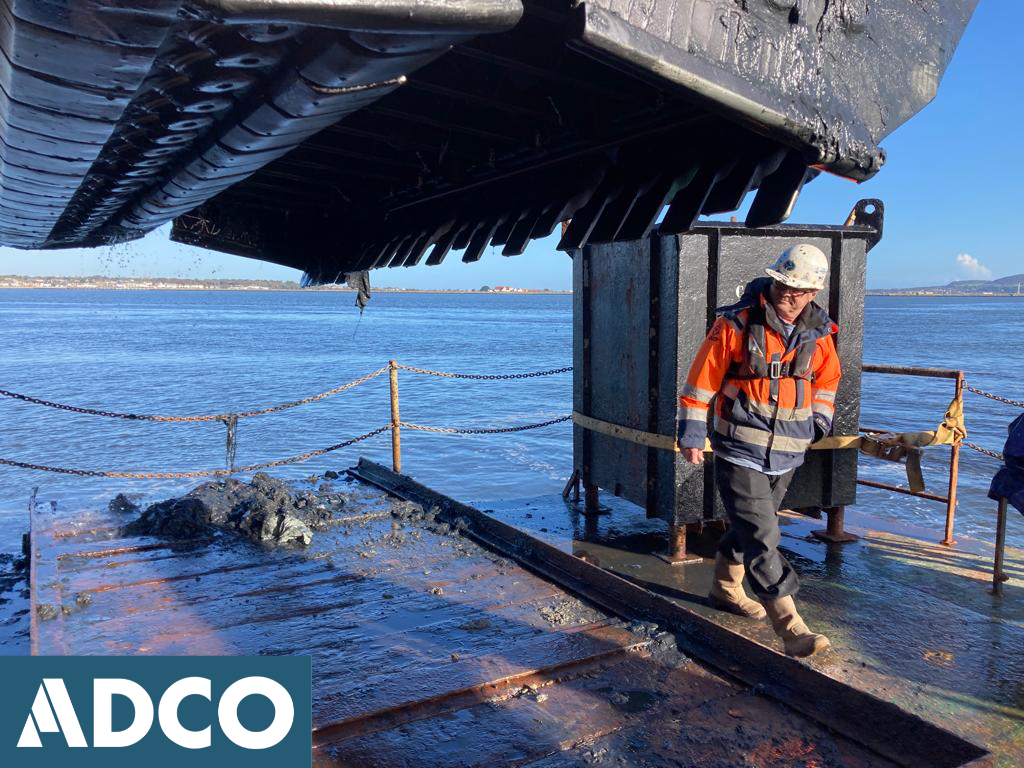
All dredging operations were subject to archaeological monitoring by ADCO; a single archaeologist being present on each 12-hour dredge cycle (per vessel) in the 24hr operation.
Unlike previous dredge campaigns, completed as part of the ABR project (Capital Dredge Season 1-4; 17E0506, 17E0506 Ext.), which recovered significant quantities of ship’s timbers and other maritime related finds, only six (isolated) finds were encountered as part of the MP2 monitoring (Finds 22E0401:01-22E0401:06). One find was recovered as part the Backhoe dredging undertaken across the NWA, the remaining five being recovered from TSHD operations: DT085 (SWA), DT94 (NWA), DT133 (NWA), DT139 (NWA), and DT179 (NWA). All items, apart from Find 01, appear to be of twentieth-century date or later, and include the following:
- Find 01, Kedge Anchor, admiralty folding type anchor, also known as a ‘Fisherman’s anchor’, commonly used in 1800’s.
- Find 02, Quayside timber
- Find 03, Steel pin (large, early-mid twentieth-century date); square-profile, with a forged bend/head.
- Find 04, Rubbing strake from the timber hull of a mid-twentieth-century boat.
- Find 05, keel piece (800mm length) or sternpost with two (2) keelson holes, small copper nails and some in situ
- Find 06, Timber (probable fender).
Frequent modern material was encountered also, with one-hundred and thirteen (113) items recovered from Berth 53/ Northern Widening Area and twenty-five (25) from the SWA.
Excavation, Dive Survey, and Detection Device Licences were in place for the duration of the archaeological monitoring; DHLGH Licence numbers 23E0892, 23D0107, 23R0469.