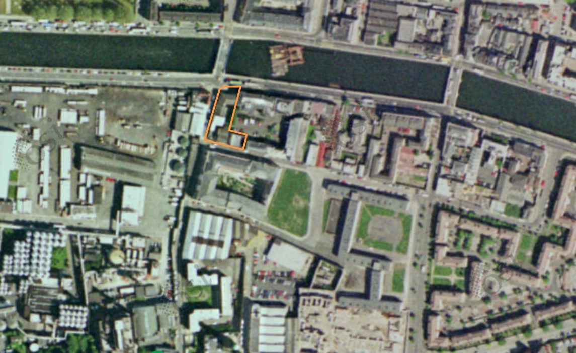
2022:466 - DUBLIN: 25–26 Usher's Island, Watling Street and 20–22 Island Street, Dublin
County: Dublin
Site name: DUBLIN: 25–26 Usher's Island, Watling Street and 20–22 Island Street
Sites and Monuments Record No.: DU018-020264
Licence number: 21E0377
Author: Philippa E. Barry, Archaeology Plan
Author/Organisation Address: 32 Fitzwilliam Place, Dublin 2
Site type: Historic town
Period/Dating: Multi-period
ITM: E 714255m, N 734258m
Latitude, Longitude (decimal degrees): 53.346007, -6.284067
Archaeological testing (21E0377) and the monitoring (21E0377 ext.) of ground reduction works was undertaken at 25-26 Usher’s Island, Watling Street, Island House & 20-22 Island Street. The development site is listed as containing DU018-020264 (a watermill).
The demolition of the 1980’s buildings and concrete slab at the site, the piling process and the removal of material to the top of known subsurface archaeological layers was monitored, followed by a programme of testing at a level of approximately 0.6m OD, based on previous testing by Giacometti (18E0355 (2018:164)) and McQuade (03E0422 (2003:0597)).
The demolition and testing demonstrated that had any medieval remains been present on the site, they were removed by multiple phases of construction and demolition during the life of the eighteenth-century mill. The earliest surviving layers are silts from the mill pond which was cut through riverine gravels and sand. The 1980’s demolition of the mill and bakery on the site, which was followed by a smaller piling programme, demolished and removed the majority of the eighteenth- to nineteenth-century mill. The remaining elements represent the evolution of the mill as it extended southwards, removing all traces of the domestic structures (seen on Rocque’s map) along Watling Street and through the mill pond along the east of the site. These extensions were later infilled with rubble and dump material containing large amounts of post-medieval pottery. The infill material was retained by mortared limestone walls on reused timber raft foundations.
Surviving outside of the footprint of the 1980’s building, were wheelpits, probably related to the earlier watermill, which were later replaced by rollers. A woodcut stamp, likely used for marking sacks of flour, was located in the basal fill of the wheel pit. A parallel for this object has not yet been found. The stamp shows a full elevation of the mill and mill shop on Ushers’ Island and Watling Street, reads “City of Dublin Flour Mills [ROLL]er system”, and matches twentieth-century photographs of Byrne & O’Mahony Flour Mills before their demolition.
Pottery, wood and the stamp from the excavation are undergoing specialist analysis.

