2022:081 - MONADRISHANE, Kilworth, Cork
County: Cork
Site name: MONADRISHANE, Kilworth
Sites and Monuments Record No.: CO027-111
Licence number: 21E0702
Author: David Murphy
Author/Organisation Address: 3a Westpoint Trade Centre, Link Road, Ballincollig, Cork
Site type: No archaeology found
Period/Dating: N/A
ITM: E 582780m, N 602645m
Latitude, Longitude (decimal degrees): 52.175349, -8.251765
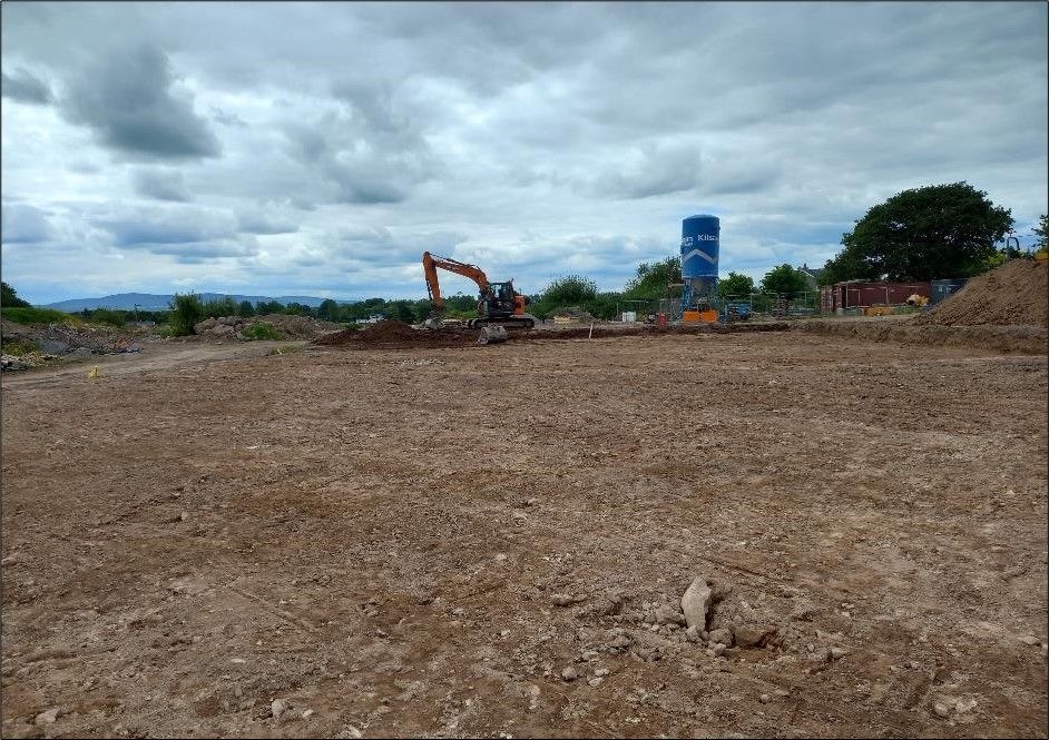
Archaeological monitoring of topsoil stripping and the removal of overburden was undertaken at the Móin na Rí residential development in Monadrishane, Kilworth in late May 2022 in order to comply with An Bord Pleanála planning condition. This was largely due to the fact that the eastern portion of the site is within the Zone Of Notification associated with cist burial (CO027-111—-). Much of the subject site had been disturbed by previous development-related activity.
Overburden and topsoil were reduced down to the upper levels of the underlying natural subsoil across a relatively undisturbed c. 0.4 ha area in the eastern portion of the site and a more disturbed c. 0.1 ha area in the northern portion of the site. While evidence of past agricultural activity was uncovered, nothing of an archaeological nature was revealed during the site clearance and topsoil stripping works.