2022:037 - CAPPAGH, Kinsale, Cork
County: Cork
Site name: CAPPAGH, Kinsale
Sites and Monuments Record No.: N/A
Licence number: 22E0143
Author: András Hindli
Author/Organisation Address: Burnside, St. Oran's road, Buncrana, Co. Donegal
Site type: Habitation site
Period/Dating: Prehistoric (12700 BC-AD 400)
ITM: E 562872m, N 551107m
Latitude, Longitude (decimal degrees): 51.711111, -8.537257
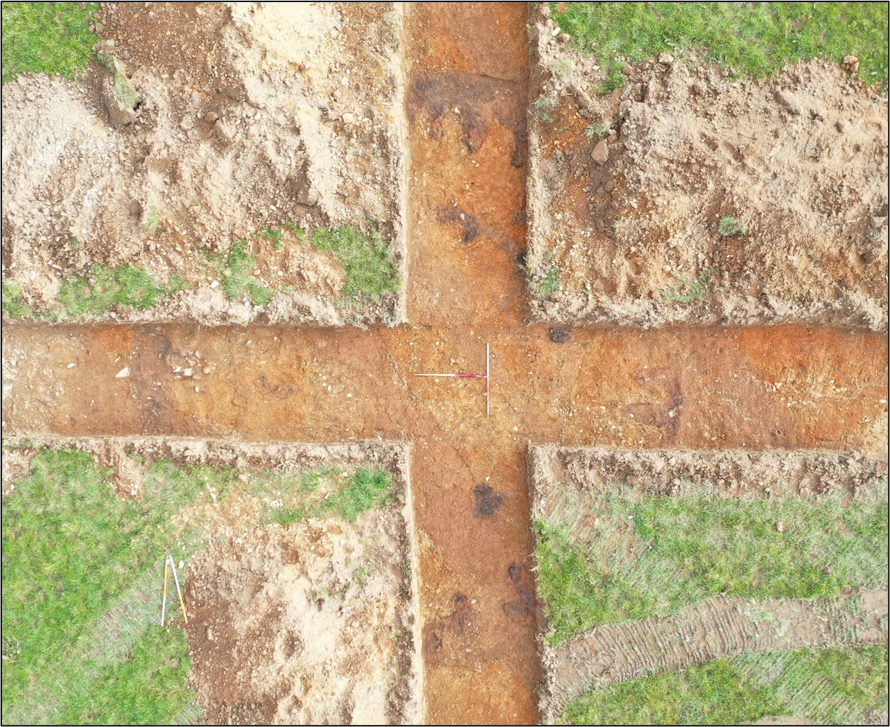
Targeted archaeological testing was conducted as part of a preliminary archaeological investigation on 24 and 25 February 2022. A total of 19 linear trenches were excavated mostly at the location of recorded geophysical anomalies (21R0312). The programme confirmed the presence of at least three potential prehistoric habitation structures towards the northern portion of the field, and several other potential structural and settlement-type features (possibly pits and hearths) towards the southern portion.
Northern portion:
STRUCTURE A was one of the three evident responses gathered by the geophysical survey. Originally speculated to be a prehistoric burial site (ring-ditch), a closer view and the evidence of potential internal post-holes would suggest that these features represent a habitational structure. No diagnostic artefacts were recovered to confirm a chronological date in relation to these structures. This feature likely consists of a slot-trench, with an average width of 0.5m, circular in plan and measuring approximately 9m in diameter. Several potential post-holes were identified both adjacent to the interior side of the slot-trench, and within the central area of the structure. High concentration of charcoal and occasional scorched subsoil was evident within the full extent of this feature, suggesting that this structure may have been burnt/affected by fire. Agricultural activity in the form of linear features partially truncated this structure. However, it appears that the level of truncation was not excessive since portions of the structure emerged from underneath the agricultural linear features after a light cleaning by hand.
STRUCTURE B consisted of a circular feature defined by a potential slot-trench, measuring approximately 9m in diameter. Agricultural activity truncated several areas, especially the eastern portion where the potential slot-trench return was not fully localised. Similar to Structure A, potential post-hole features were found on the interior, both adjacent to the slot-trench and within the central area. Traces of charcoal inclusions were visible on the surface of these features.
STRUCTURE C also measured approximately 9m in diameter and shared similar characteristics with Structure B. Structure C was also truncated by agricultural activity, however, in this case, the full return of the potential slot-trench was identified within the trenches. Evidence of two potential post-holes with concentration of charcoal was found adjacent to the interior of the southern and western portion of the structure.
A number of other potential features were identified within the northern half of the subject field, including curvilinear feature almost adjacent to Structure C, a potential post-hole c. 8m east of the structures and a series of ephemeral apparent linear features with different orientations.
Southern portion:
Approximately 15 potential features were identified within the trenches at the southern half of the subject field. These include clusters composed of hearth, stake-holes, possible post-holes and circular pit-like features, some of which contained charcoal-rich inclusions. The aforementioned structures could justify the presence of such clusters in a context of settlement activity.