2021:616 - BALLYCONNELL AGGLOMERATION UPGRADE, Wicklow
County: Wicklow
Site name: BALLYCONNELL AGGLOMERATION UPGRADE
Sites and Monuments Record No.: N/A
Licence number: 21E0258
Author: David McIlreavy, c/o IAC Archaeology Ltd.
Author/Organisation Address: Unit G1 Network Enterprise Park, Kilcoole, Co. Wicklow
Site type: No archaeology found
Period/Dating: N/A
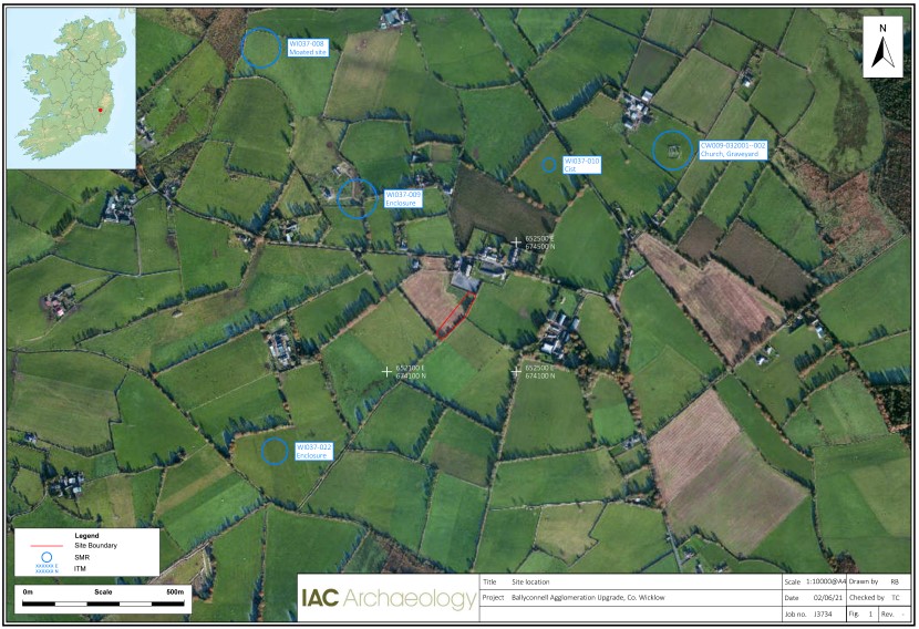
ITM: E 692327m, N 674283m
Latitude, Longitude (decimal degrees): 52.811614, -6.630473
A programme of archaeological monitoring took place at Ballyconnell Agglomeration Upgrade Project, Co. Wicklow. The northern three-quarters of the field was stripped and the southern portion was used to store topsoil.
The archaeological monitoring of topsoil stripping ahead of construction works revealed the following stratigraphy: a loose mid-brown sandy silt topsoil with occasional small stones to a depth of 0.3m; a light brown-orange with mottled white sandy silt subsoil, with frequent small to medium-sized stones.
The features identified within the stripped area consisted of a relict field boundary ditch and multiple cultivation furrows. The cultivation furrows ran roughly parallel, with a north-south orientation across the entire width of the site. The furrows had a gradual break of slope at both the top and base, with a flat base. The widths ranged from 0.6m to 0.86m and they had a depth of 0.13m. The distance between the furrows ranged from 0.3m to 0.63m. The furrows each contained a single fill that consisted of loose mid-brown sandy silt with frequent small stones. All of the cultivation furrows terminated at the location of the relict field boundary which was located roughly centrally across the site and was orientated north-west/south-east. The field boundary is depicted on the first edition OS map and represents a continuation of an existing field boundary to the southeast of the site.
Nothing of archaeological significance was identified during the course of works.