2021:342 - CARRICKDUFF, Wicklow
County: Wicklow
Site name: CARRICKDUFF
Sites and Monuments Record No.: N/A
Licence number: 21E0793
Author: Yvonne Whitty
Author/Organisation Address: —
Site type: No archaeology found
Period/Dating: N/A
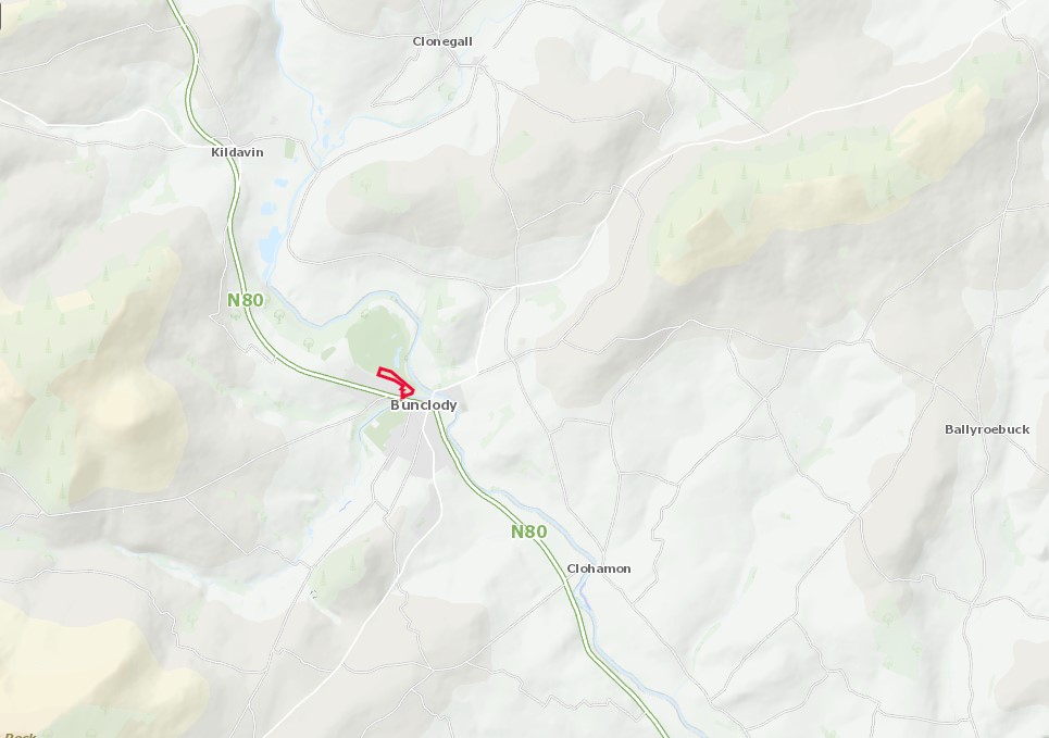
ITM: E 690751m, N 657120m
Latitude, Longitude (decimal degrees): 52.657665, -6.658586
This summary details the results of archaeological monitoring of groundworks in advance of the development of nine private dwelling houses at Carrickduff, Bunclody, County Carlow.
ITM centre-point: 690751, 657120. Map sheets 4715-D, 4776-B. Plot ref. number 50028452-1.
A notification of decision to grant planning was given on 17/08/2020 subject to 37 conditions. Condition 34 (a – d) was for archaeological monitoring under licence (Planning ref. 19/163).
The land was adjacent to a golf course and is zoned residential for planning purposes.
The site served as a source for materials in the construction of the golf course landscape. Both top soils and subsoils were stripped in 2009 (approximately). No archaeology was found during the course of monitoring for this development.