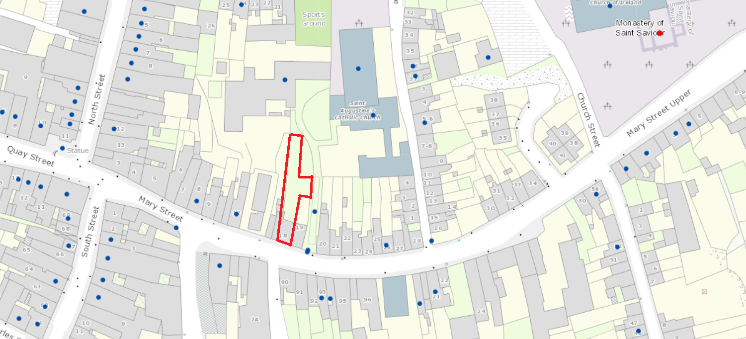
2021:748 - NEW ROSS: 18 Mary Street, Wexford
County: Wexford
Site name: NEW ROSS: 18 Mary Street
Sites and Monuments Record No.: N/A
Licence number: 21E0262
Author: Nial O'Neill
Author/Organisation Address: Hillside, Lower Grange, Gowran, Co.Kilkenny
Site type: Town
Period/Dating: Modern (AD 1750-AD 2000)
ITM: E 671853m, N 627643m
Latitude, Longitude (decimal degrees): 52.395599, -6.944235
The site is located in the townland of New Ross in the parish of Saint Mary and the barony of Bantry, Co. Wexford. A total of 28 listed RMP sites are within a 1km radius: a Bullaun stone, Church x 3, Grave slab x 4, Bridge, Religious House x 3, Stone head, Historic town, Battlefield, Burial, Hospital, Town defences, Cross, Sarcophagus x 2 and a Chest tomb. Also listed are 3 RMP sites where previous licensed archaeological testing uncovered medieval pottery including Saintonge, Leinster cooking ware and local glazed wares. There are also numerous sites listed in the National Inventory of Architectural Heritage with 19 on Mary Street alone. The site is therefore located within the zone of archaeological and architectural potential of numerous known sites.
Archaeological monitoring was undertaken by in May 2021 on foot of a planning condition attached to a proposed extension to the rear of 18th Mary Street.
Revealed during the works were the foundation courses and floor slabs of a late 19th- or early 20th-century building. The footprint of this building tied in exactly with that seen on the 3rd Edition OS Map (1897-1913). These building remains were recorded and removed under archaeological supervision.
No archaeological features, finds or deposits were uncovered.
The site itself appears on the 1st Edition OS Map (1829–1841) with a building in the current position. However, on the 3rd Edition, there is a structure or structures running north from the main building on the western side of the backyard. These are most likely to have been out buildings.

