2021:707 - BALLYNARRID, near Bunmahon, Waterford
County: Waterford
Site name: BALLYNARRID, near Bunmahon
Sites and Monuments Record No.: WA032-016, WA032-048
Licence number: 21E0155
Author: Edward Pollard, The Discovery Programme: Centre for Archaeology and Innovation Ireland
Author/Organisation Address: Unit 2, Merchants House, 27-30 Merchants Quay, Dublin 8, Ireland, D08 K3KD
Site type: Promontory fort - coastal
Period/Dating: Multi-period
ITM: E 641689m, N 597690m
Latitude, Longitude (decimal degrees): 52.129506, -7.391108
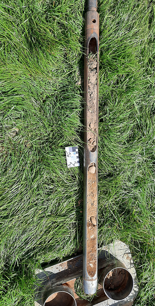
This investigation was undertaken by the CHERISH project as part of an investigation into the erosion of the promontory forts along the Copper Coast of Co. Waterford. CHERISH (Climate, Heritage and Environments of Reefs, Islands and Headlands) is a European-funded project. This report is on the excavation around the coastal promontory forts of Ballynarrid, near Bunmahon. The aims are to record the coastal archaeology before being lost to erosion and test methodologies of cliff-section recording, coring and X-ray fluorescence.
X-ray fluorescence of samples taken from the cliff revealed high lead content from the Illaunobrick embankments (WA032-016) confirming lead mining but no evidence of silver mining. The lead mining evidence seems to be present throughout the sediment suggesting lead mining has been occurring here for a long time, perhaps earlier periods, though no dating evidence was found. The upper topsoil context is probably related to the industrial mining of the 18th century and sulphur is also recorded from this context suggesting smelting may also have occurred on site then but not in earlier centuries.
The cliff access at Illaunobrick did not show evidence of the banks and ditches and it is assumed that they have been completely eroded away. The erosion between there and the island of Illaunobrick, on which their are hut sites, suggests a much larger promontory in the past that has been reduced by mining and erosion.
The promontory fort at Rinnamoe (WA032-048) cliff access only showed a shallow ditch and it is suggested that this could be the remains of a medieval field boundary remaining as the cliffs eroded rather than a promontory fort as previously reported in the monument records.
Coring testing took place of a circular feature revealed from magnetometer geophysics (Licence No 19R0098) in the Castle Field landward of WA032-048. This suggested deeper soils in the Castle Field than those exposed in the cliff. These could be from pits and ditches suggested by the magnetometer though the area could also have been disturbed by mining.

