2021:617 - DUNGARVAN: Strandside South, Abbeyside, Waterford
County: Waterford
Site name: DUNGARVAN: Strandside South, Abbeyside
Sites and Monuments Record No.: N/A
Licence number: 21E0074
Author: David Mcilreavey & John O’Neill, c/o IAC Archaeology Ltd.
Author/Organisation Address: Unit G1 Network Enterprise Park, Kilcoole, Co. Wicklow
Site type: No archaeology found
Period/Dating: N/A
ITM: E 626570m, N 593084m
Latitude, Longitude (decimal degrees): 52.089038, -7.612282
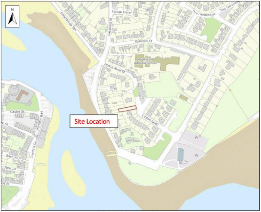
Archaeological testing was carried out on 28 April 2021 at Strandside South, Abbeyside, Dungarvan, Co. Waterford. One trench, measuring c. 25m, was excavated across the site. The trench was aligned east-west and located at the middle of the proposed development.
The topsoil present on the site was a deep deposit of loose silty clay which was 1.5m in depth. The upper surface of the topsoil sloped downwards to the western end of the trench and the shed present on the western part of the site appears to be resting on a level close to the underlying grey clay with little topsoil present in that location. The topsoil overlay subsoil that varied between sticky grey clay to gritty grey clay.
The soil cover on the site was intermixed with timber, wires, plastic and other construction debris. Large unworked stone and lime mortar formed a component of the soils in the western half of the trench. Some substantial pits containing the construction debris had been cut down into the underlying clay, including what appeared to be a substantial pit at the eastern end (in excess. of 4m in diameter) with smaller pits at the western end. The fill of these pits included plastic and metal wiring. Where banding was visible in the deposited materials it followed the profile of the western end of the ground surface, being higher in the east and lower in the west. It wasn’t possible to clearly identify buried soil horizons beneath the construction debris.
The absence of a buried soil horizon suggests the site may have been heavily disturbed during previous works in the general area and the ground built back up to current levels. The presence of a notable component of unworked stone and lime mortar may be the scattered material that had previously made up a north-south dividing wall on the first edition Ordnance Survey map.
The testing did not identify any archaeologically significant features that are likely to be impacted by the proposed development.