2021:084 - BALLINATTIN, Tramore, Waterford
County: Waterford
Site name: BALLINATTIN, Tramore
Sites and Monuments Record No.: WA026-019
Licence number: 21E0459
Author: Alan Hawkes
Author/Organisation Address: 6 Endsleigh Estate, Carrigaline, Cork
Site type: Field boundary
Period/Dating: Modern (AD 1750-AD 2000)
ITM: E 659658m, N 602672m
Latitude, Longitude (decimal degrees): 52.172636, -7.127814
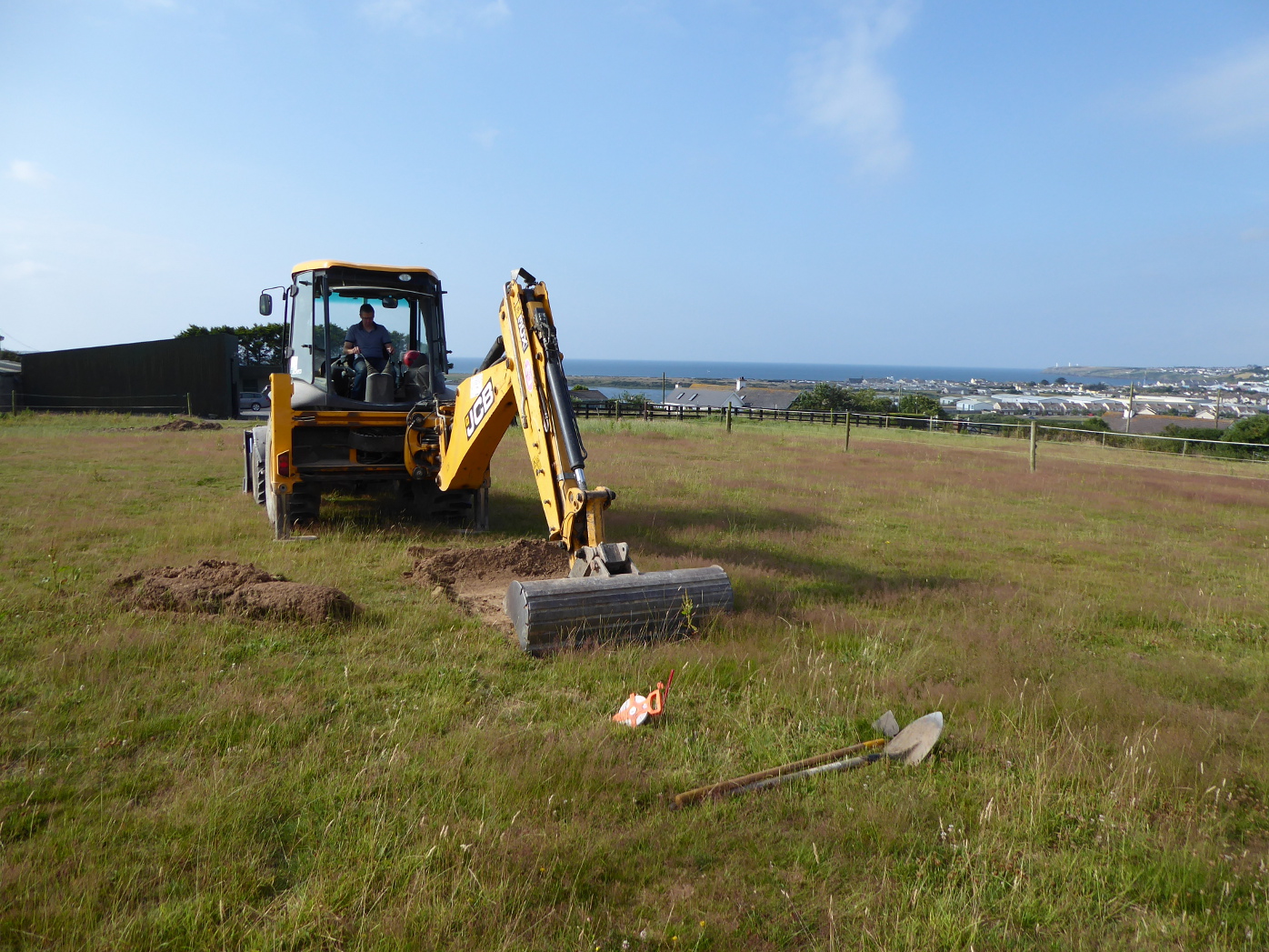
A programme of archaeological test-trenching was carried out as part of pre-planning for a proposed private dwelling house in the townland of Ballinattin, near Tramore, Co. Waterford.
The proposed development is situated within a plot of land to the north of ringfort WA026-019, now with no surface trace. The local planning authority advised the developer to engage the services of a suitably qualified archaeologist to prepare an archaeological impact assessment to include geophysical prospection and archaeological test-trenching to inform the overall impact of the proposed development.
A gradiometer survey was conducted by J.M. Leigh Survey Ltd. (Licence 21R0103), which successfully identified the location and extent of the enclosure. No further archaeological features were identified outside the monument and within the proposed development zone, except for a single linear ‘trend’ extending south-west from the monument. This however, is identified from the historic mapping as a former field boundary ditch that was confirmed by later test-trenching.
Five test-trenches were excavated over the footprint of the proposed dwelling, driveway/entrance and percolation area. No archaeological features or deposits were uncovered.

