2021:422 - UNNAMED STREAM, N74 Ballyhusty Road Realignment Scheme, Tipperary
County: Tipperary
Site name: UNNAMED STREAM, N74 Ballyhusty Road Realignment Scheme
Sites and Monuments Record No.: N/A
Licence number: 21D0084, 21R0074
Author: Rex Banegrter, ADCO
Author/Organisation Address: No. 2, Main Street, Bennettsbridge, Co. Kilkenny
Site type: Field boundary and Bridge
Period/Dating: Multi-period
ITM: E 591987m, N 636523m
Latitude, Longitude (decimal degrees): 52.480070, -8.117962
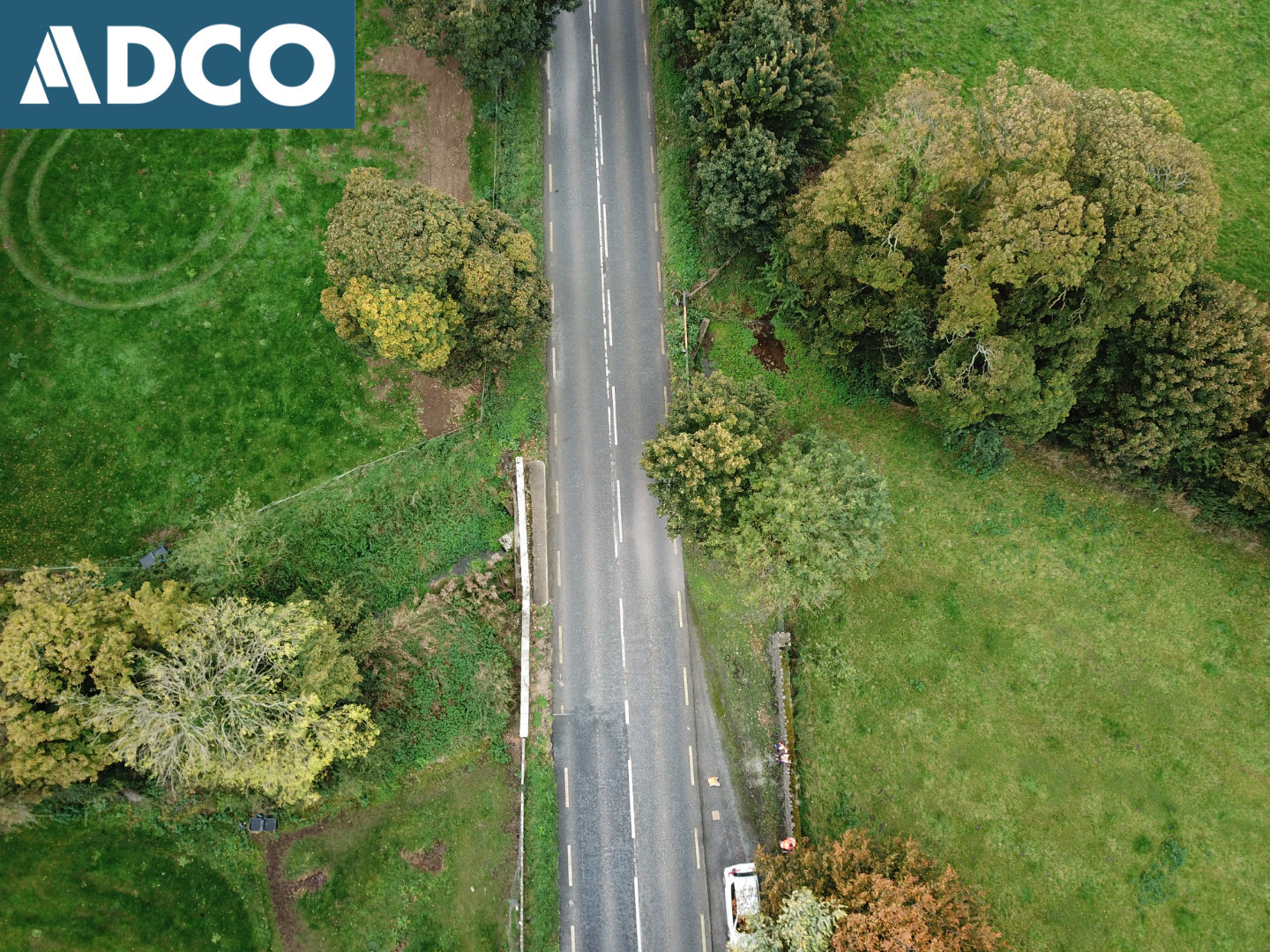
An Underwater Archaeological Impact Assessment (UAIA) took place of an unnamed stream that forms the townland boundary between Ballyhusty/Garranacanty and Ballyhusty/Corrogemore, c. 2km east of Tipperary Town. The work was undertaken as part of pre-construction archaeological mitigation associated with the N74 Ballyhusty Road Realignment Scheme.
The archaeological work comprised comprehensive assessment, including metal-detection survey, of a 40m stretch of the waterway extending from a point 20m upstream and 20m downstream of where the N74 crosses the watercourse. The assessment recorded streambed topography, provided a detailed account of the existing environment, and described any related features encountered. The on-site work was carried out on 26 October 2021.
Two (2) features of interest were encountered as part of the assessment:
Feature 1, a raised bank/field boundary, delineating the eastern extent of the watercourse along the upstream half of the survey area. The collapsed remains of rough-cut limestone, once forming part of an associated boundary wall, are also visible within the streambed at various locations.
Feature 2, which comprises a 7.7m-long section of historic bridge façade (downstream side), truncated on its west side by a modern (c. 1970s) bridge/culvert structure. This feature constitutes a previously unknown site/structure, one that should be considered for inclusion in the NIAH and the Record of Protected Structures (RPS).
Two (2) items of historic interest were also recovered (Georgian button and a copper-alloy stud), as part of the metal-detection survey, demonstrating the potential of the streambed to retain items of historic interest.

