2021:287 - CASHEL: St Patricksrock (Bóthar na Marbh), Tipperary
County: Tipperary
Site name: CASHEL: St Patricksrock (Bóthar na Marbh)
Sites and Monuments Record No.: TS061-025001
Licence number: 21E0128
Author: Niall Gregory
Author/Organisation Address: Dunburbeg, Clonmel Road, Cashel, Co. Tipperary
Site type: No archaeology found
Period/Dating: N/A
ITM: E 607320m, N 640868m
Latitude, Longitude (decimal degrees): 52.519134, -7.892144
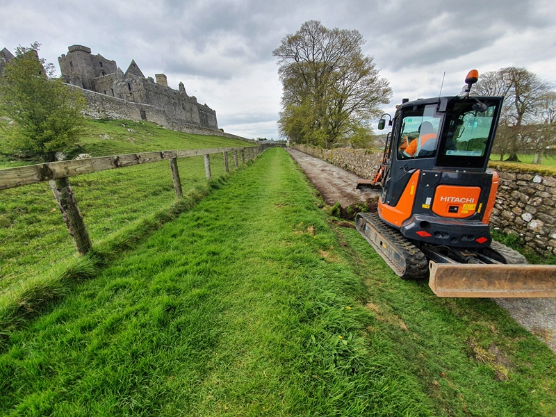
The client, Tipperary County Council, undertook upgrading and resurfacing works of Bóthar na Marbh, Cashel, County Tipperary as a Part 8 development. Bóthar na Marbh is a pedestrian path linking Rock Lane to east with Camas Road to west and travels over the southern shoulder of the Rock of Cashel on the border of pastoral lands associated with the Cashel Palace Hotel. Given the proximity of the proposed development to the Rock of Cashel as well as its siting within the recognised medieval zone of Cashel, Gregory Archaeology was commissioned to undertake Archaeological Monitoring of the works.
Monitoring took place on 16 and 19 April 2021. The works entailed surface scraping of the gravel path to clean it as well as broaden it to 3m in overall width by stripping the topsoil of the grass margin on its northside which would then be bedded in stone. The ensemble would subsequently be tarmacked over, with the southern margin retaining stone fill instead of tarmac in order to act as a surface water drain. In the event, topsoil stripping revealed an underlying gravel surface, which was not disturbed and as a consequence, no archaeology was encountered.

