2021:686 - COONAGH—KNOCKALISHEEN DISTRIBUTOR ROAD, Ballygrennan landscape fill site, Ballygrennan 4, Limerick
County: Limerick
Site name: COONAGH—KNOCKALISHEEN DISTRIBUTOR ROAD, Ballygrennan landscape fill site, Ballygrennan 4
Sites and Monuments Record No.: N/A
Licence number: 20E0218
Author: Graham Hull
Author/Organisation Address: TVAS (Ireland) Ltd, Ahish, Ballinruan, Crusheen, Co. Clare
Site type: Fulacht fia and Enclosure
Period/Dating: Multi-period
ITM: E 555450m, N 659600m
Latitude, Longitude (decimal degrees): 52.685716, -8.658915
Monitoring of ground disturbance associated with a landscape fill site in Ballygrennan townland as part of the Coonagh to Knockalisheen Distributor Road Scheme, Co. Limerick, revealed three areas of archaeological potential and these were subsequently fully excavated under the same licence. The features included two troughs that were likely remnants of a Late Bronze Age fulacht fiadh, the remaining portion of a previously excavated early medieval enclosure with evidence of precious metal working, and an early medieval post-built possible cereal store.
Area A at the west contained the remaining portion of an early medieval enclosure ditch previously investigated as Ballygrennan 2 in 2012 and several post-medieval furrows. Area B was revealed 110m east of Area A and consisted of a curvilinear feature, and several possible post-holes likely all dating to the early medieval period. Area C was located 60m south of Area A and comprised an area of blackened soil and two cut features that are likely Late Bronze Age in date.
Area C: Late Bronze Age
Monitoring uncovered a spread of charcoal-rich soil adjacent to two trough-like pits, immediately north of a field boundary in a waterlogged section of field. The spread of moderately compacted dark grey sandy silt with abundant charcoal measured 7.63m east to west by 4.9m and was just 0.06m thick. The two sub-rectangular pits measured 2.42m by 1.8m by 0.3m and 2m by 1.33m by 0.17m. Each pit contained two fills. The lower fills were dark grey silty loam with occasional inclusions of small degraded stone and frequent charcoal. Both pits contained upper fills of loose dark brown peaty silt that yielded modern pottery and glass, demonstrating recent disturbance of the area. A fragment of alder charcoal from the lower fill of one of the pits was radiocarbon dated (to 2 sigma) to 1106–830 cal. BC (UBA-45321; 2802 BP± 45), the Late Bronze Age. It is likely that one, if not both, of these pits represents a trough associated with a since-truncated fulacht fiadh. Several such monuments have been excavated elsewhere in Ballygrennan in recent years (Ruttle E4452, E4453, E4454, E4455, E4457, E4458).
Area A: Early medieval
The largest area of archaeological activity on the site was at the western limit of excavation towards the base of a west-facing slope. The 2012 excavation of Ballygrennan 2 (Ruttle E4453) had uncovered most of an early medieval enclosure ditch that extended beyond the limit of excavation at that time. The enclosure was dated to the early medieval period through the study of artefacts and radiocarbon analysis, which gave results of cal. AD 688–886 and cal. AD 900–1024 (ibid.) The remainder of the enclosure was excavated here in Area A.
The portion of ditch within the current excavation had an overall length of 24.8m, ranging in width from 1.5m to 2.3m and was 0.82–1.05m deep. The break of slope at the top of the cut was generally steeper on the internal side of the ditch and shallower on the external side; the sides of the ditch were concave with a moderate break of slope to a mostly concave base although a flat base was seen in one slot. It was apparent during the excavation that the ditch had been originally dug in sections as some areas of ditch cut more neatly and more regularly than others. Combining the results of the two phases of excavation it is now possible to give accurate dimensions to the enclosure. The overall shape of the enclosure was sub-oval with internal dimensions of 32m north-west to south-east by 26.8m, enclosing an area of approximately 712m².
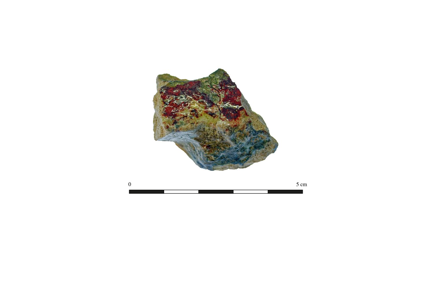
Finds from the ditch fills are a piece of ceramic crucible, possibly used for precious metals, crumbs of fired clay, animal bone and, from the upper fills, fragments of early modern pottery. The presence of relatively modern artefacts in the upper ditch fills is probably indicative of disturbance caused by ploughing and drainage works. Charcoal sampled from the enclosure ditch was mainly from oak, with lesser quantities of hazel, alder, holly, blackthorn/cherry and willow. It is thought that the high volumes of charcoal from the early medieval ditch are indicative, given the high percentage of oak charcoal, of hearth dumps likely associated with metalworking. A small quantity of the charred plant material recovered from the ditch was from cereal (free-threshing wheat and oat). This material may have derived from the similarly dated features in Area B.
Area B: Early-medieval
This cluster of features was located near the crest of a low hill and contained a curvilinear gully and several possible post-holes. The area had been heavily truncated by modern agricultural activity. The curvilinear gully appeared in plan as an arc, approximately 4.9m long, 0.24m wide and 0.08m deep, which was truncated at either end by one of what appeared to be a pair of wheel ruts created by a modern agricultural vehicle. The single fill was dark grey silty sand of moderate compaction with inclusions of small sub-rounded stones. There were nine post-holes, each generally oval in plan with a mixture of flat, concave and irregular bases and were 0.04–0.3m deep. No diagnostic artefacts were recovered, with just a piece of burnt bone, probably animal, from one of the post-holes. Wood charcoal from the features in this area was low in quantity and was mainly hazel with lesser quantities of alder, ash, blackthorn/cherry, oak and pomaceous fruitwood. It is thought that the varied taxa and small quantities within the post-holes indicates that the charcoal does not represent in-situ burnt posts. Early-medieval agriculture was represented by charred remains of free-threshing and glume wheats (emmer), as well as hulled and naked barley and oats and rye. There was some limited evidence for malting for beer production. A charred wheat grain from one of the post-holes was radiocarbon dated (to 2 sigma) to cal. AD 995–1162 (UBA-45320; 970 BP± 37), the latter part of the early medieval period.
The relatively small and modest early medieval univallate enclosure and the post-holes seen farther to the east provided surprising evidence of relatively high-status activity shown by working precious metal and malting and storing cereals. Later ploughing may well have removed other status-related features or artefacts.
The site has been fully excavated and archaeologically resolved within the confines of the road scheme and no further fieldwork is required.