2021:251 - BALLINGARRY, Limerick
County: Limerick
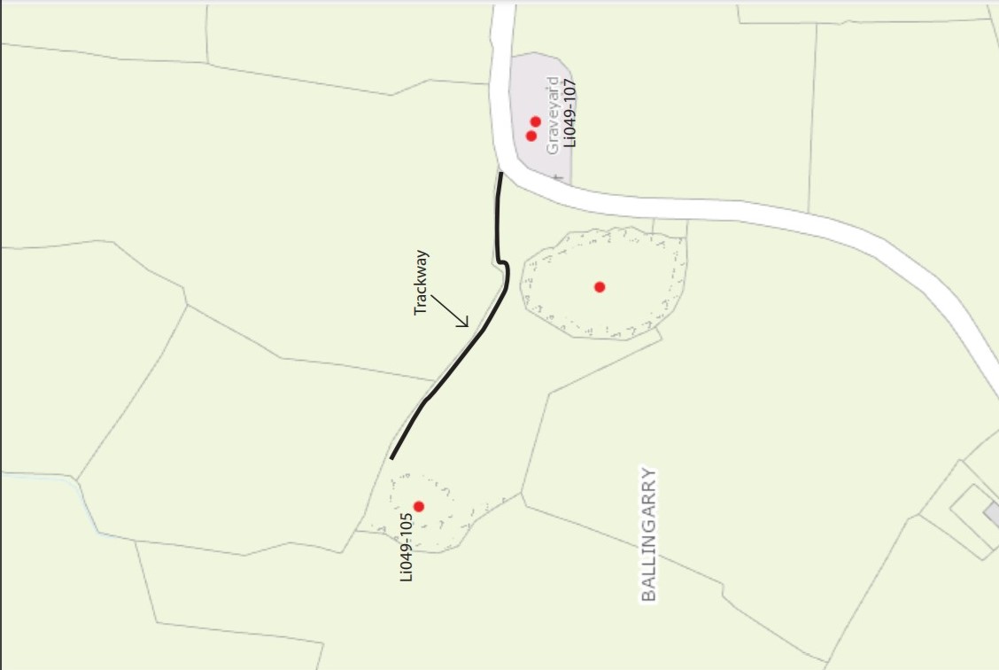
Site name: BALLINGARRY
Sites and Monuments Record No.: LI049-105
Licence number: 21E0593
Author: Enda O'Mahony
Author/Organisation Address: Gortageen, Millstreet, Co. Cork
Site type: Enclosure
Period/Dating: Undetermined
ITM: E 574426m, N 625748m
Latitude, Longitude (decimal degrees): 52.382683, -8.375655
A testing licence was required for the proposed construction of a pathway to provide safe access and egress from the public road to an excavated recorded monument, LI049-105. The aim of the project is to construct a footpath totalling 140m in length, erect a self-closing gate and a notice board. Glenbrohane Tidy Towns committee are behind the project and are hoping to highlight the heritage of the area.
The topsoil (C.1) was a dry light brown loose clay with a low density of stone inclusions. The depth of topsoil varied across the site but was on average c.0.3m although in a one area reached 0.5m. Two distinct subsoils were observed. In the eastern portion of the site the subsoil (C.2) was a light grey brown sandy gravel with a high density of small stones. The western portion of the site was a compact dry grey yellow clay with a low density of stone inclusions (C.3). During the course of the works two levelled field boundaries were noted, both are depicted on the early cartographic maps. They were characterised by a loose brown sandy clay with an low density of stone inclusions (C.4).
No archaeology was found.