2021:047 - LAVISTOWN, Clara, Kilkenny
County: Kilkenny
Site name: LAVISTOWN, Clara
Sites and Monuments Record No.: KK020-033
Licence number: 21E0160
Author: Seán Shanahan & Edel Barry, Shanarc Archaeology Ltd.
Author/Organisation Address: Unit 39A, Hebron Business Park, Hebron Road, Kilkenny
Site type: Castle - unclassified
Period/Dating: Medieval (AD 400-AD 1600)
ITM: E 654480m, N 654520m
Latitude, Longitude (decimal degrees): 52.639154, -7.195069
Test-excavation was carried out in relation to a proposed private dwelling in Lavistown townland, Clara, Co. Kilkenny out on 29 March 2021.
The proposed development site was located in a rural, greenfield setting. The greenfield surface was much undulated, and sloped gradually towards the north and east. Limestone walls enclosed the field to the north, west and south, and a post-and-wire fence formed the boundary treatment along the side closest to the railway.
A large farmstead is situated to the west, and the site of Lavistown Castle (now demolished) (KK020-033) lies between the proposed development site and the farm. An elevated, level area, close to the boundary wall of the farm, was noted as a possible location for the structure, but no surface expression is visible above ground.
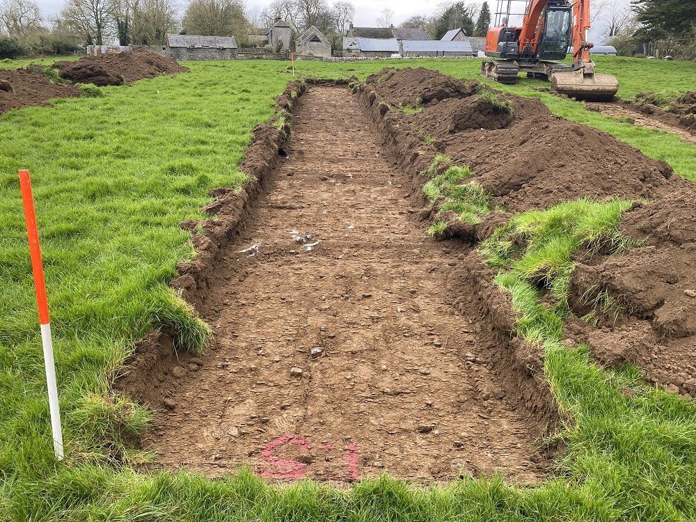
A total of 6 test trenches were machine excavated at the proposed development site, to assess the impact of site development on potential sub-surface archaeological remains. Trenches measured 20-35m in length, and approximately 1.8m in width.
No features, finds or deposits of archaeological significance were identified during archaeological test-excavation.