2021:225 - PORTERSTOWN AND KILTEEL LOWER, Kildare
County: Kildare
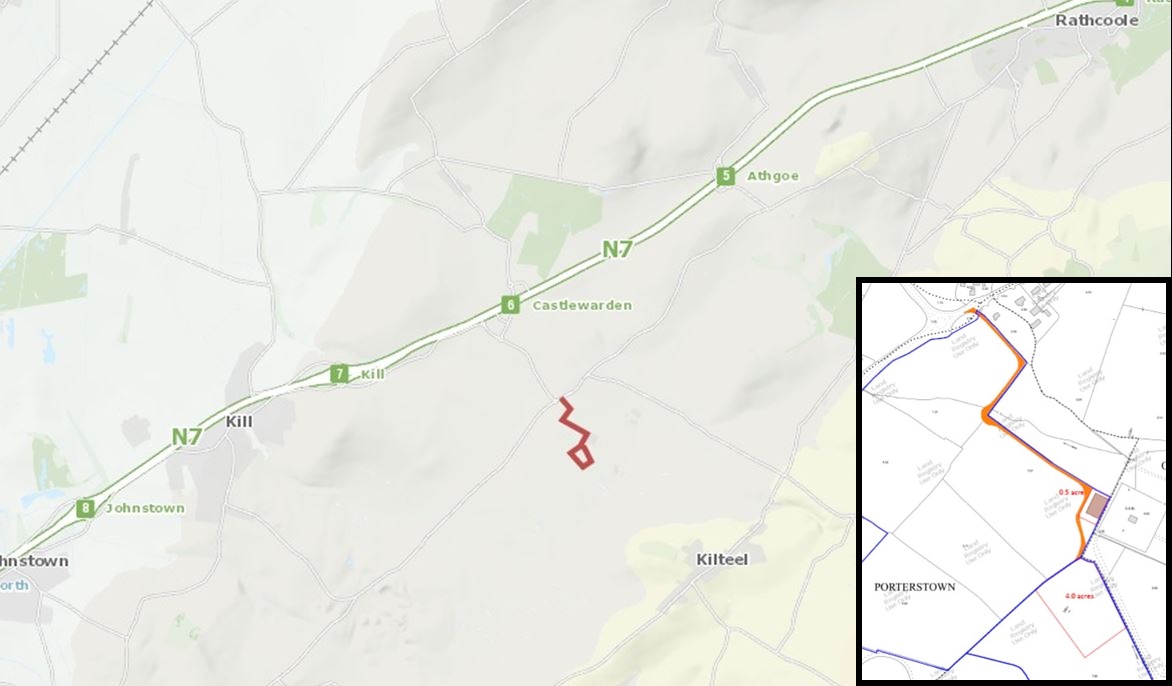
Site name: PORTERSTOWN AND KILTEEL LOWER
Sites and Monuments Record No.: N/A
Licence number: 21E0157
Author: Grace Fegan; Shanarc Archaeology Ltd.
Author/Organisation Address: Unit 39a, Hebron Business Park, Hebron Road, Kilkenny
Site type: No archaeology found
Period/Dating: N/A
ITM: E 697384m, N 722585m
Latitude, Longitude (decimal degrees): 53.244695, -6.540910
Archaeological monitoring of topsoil stripping associated with the provision of an electrical grid system services facility within a total site area of 1.95 hectares in the townlands of Porterstown and Kilteel Lower, Co. Kildare, was undertaken in line with the grant of planning in respect of Kildare County Council planning ref. 18/247.
Removal of topsoil from the entire footprint of the grid system services facility including the substation compound, battery storage modules and associated electrical cabling and ducting was monitored between 4 May and 4 August 2021. Topsoil stripping was not undertaken on the route of the access track as it comprised stone laid on a biaxial geogrid directly overlying the sod.
Topsoil was grey/brown clayey silt to a maximum depth of 0.47m. Across the site, topsoil directly overlay natural subsoil. To the north, in Porterstown townland, this comprised mid-yellow/brown gravelly clay with frequent small angular stone. To the south, in Kilteel Lower townland, the topsoil was present to a maximum depth of 0.27m which directly overlay light yellow-grey sandy clay natural subsoil.
The townland boundary between Porterstown and Kilteel Lower comprised native hedgerow running parallel to a drainage ditch. A shallow field drain of pea gravel ran south from the Porterstown side into the drainage ditch. Another field drain of medium sized stone ran north from the Kilteel Lower side into the same ditch.
No archaeological features or finds were identified during archaeological monitoring.