2021:313 - CLOGHERCLEMIN, Kerry
County: Kerry
Site name: CLOGHERCLEMIN
Sites and Monuments Record No.: N/A
Licence number: 21E0054
Author: Tony Miller
Author/Organisation Address: Tooreen, Dunmanway, Co. Cork
Site type: No archaeology found
Period/Dating: N/A
ITM: E 488921m, N 614135m
Latitude, Longitude (decimal degrees): 52.267681, -9.627459
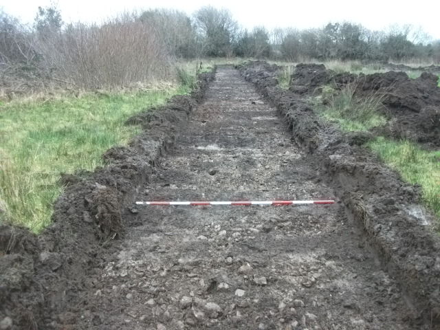
An Impact Assessment was required as part of a planning application to extend an existing waste soil recovery site to the east of Tralee. The proposed development consisted of two different areas of c.5ha in total. In the southern area 11 trenches of varying lengths were excavated, 15m apart, with a tracked machine. The land consisted of unimproved grazing divided into three fields.
Excavation revealed a general stratigraphy of between 0.3-0.4m of a mid-grey/brown waterlogged topsoil overlying a grey, stony boulder clay. The northern area consisted of the southern end of a much larger, level field with unimproved pasture. A total of 10 trenches were excavated revealing a stratigraphy of c.0.4m of a mid-grey brown waterlogged soil overlying a grey, stony boulder clay with remnants of peat appearing in places. The soil in both areas was indicative of reclaimed bog and marsh.
The total length of test trenches excavated was c.1600m and no archaeology was found.

