2021:343 - BALTEENBRACK, Cork
County: Cork
Site name: BALTEENBRACK
Sites and Monuments Record No.: N/A
Licence number: 21E0275
Author: Tony Miller
Author/Organisation Address: Tooreen
Site type: No archaeology found
Period/Dating: N/A
ITM: E 536638m, N 535185m
Latitude, Longitude (decimal degrees): 51.565649, -8.913951
An archaeological impact assessment was required as part of a planning application for a single house development due to its proximity to four recorded monuments (CO144-13001-4). These included two possible ringforts, a possible souterrain and St. James’s Holy Well. The site consisted of a portion of a larger arable field on the outskirts of Ardfield village. The land sloped gently towards the south-west with extensive views in that direction including of the sea around Galley Head.
An initial geophysical survey was carried out by JM Leigh Surveys (21R0060) and a programme of test excavation was designed around the results.
In May, 2021, 12 test trenches were excavated over the development site. The stratigraphy consisted of between 0.2m and 0.4m of a light brown sandy topsoil overlying yellow boulder clay and shaly bedrock. A single field drain was noted and north-south plough marks.
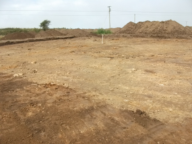
Planning permission was granted with the condition that topsoil removal should be monitored. An extension to the excavation licence, 21E0275, was applied for and monitoring took place in August, 2021. Only features relating to agricultural activity were seen and no archaeology was found.

