2021:333 - GARRANEBOY, Cork
County: Cork
Site name: GARRANEBOY
Sites and Monuments Record No.: N/A
Licence number: 21E0538
Author: Tony Miller
Author/Organisation Address: Tooreen
Site type: No archaeology found
Period/Dating: N/A
ITM: E 569508m, N 575947m
Latitude, Longitude (decimal degrees): 51.934797, -8.443422
Test excavation was required as a Further Information request connected with a planning application at Garrenboy, Whitescross, Cork, for the importation of soil and stone and concrete in order to raise the level of a field and improve its agricultural output. The site is c.10ha in extent and lies to the south-east of Whitescross and north of Cork City. It consists of two fields of semi-improved grassland on a low terrace with a stream along the northern boundary.
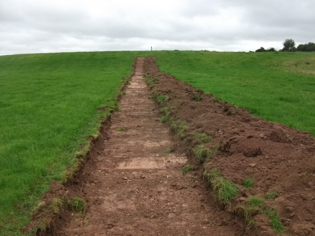
12 trenches were excavated c.15m apart and extending for c.900m in total. In the western field c.0.2m of a light brown topsoil overlay a brown gravelly subsoil. The eastern field was more waterlogged and c.0.3m of topsoil overlay yellow boulder clay and white marl in the wetter areas. No archaeology was found.

