2021:175 - LAHARDANE, Cork
County: Cork
Site name: LAHARDANE
Sites and Monuments Record No.: N/A
Licence number: 21E0247
Author: Padraig Dunne, John Cronin & Associates
Author/Organisation Address: 3A Westpoint Trade Centre, Ballincollig, Co. Cork
Site type: Excavation - miscellaneous
Period/Dating: Multi-period
ITM: E 568939m, N 575109m
Latitude, Longitude (decimal degrees): 51.927233, -8.451621
Two separate phases of archaeological test trenching were carried out under licence 21E0247 at an approved SHD development site at Lahardane, Ballyvolane, County Cork.
Phase one was carried out under Licence 21E0247 and Detection Device Licence 21R00904 between 17 and 20 May 2021, with the test trenches targeting geophysical anomalies identified during a geophysical survey (21R0026) which was undertaken at the development site in March 2021. A total of 22 test trenches, comprising 782 linear metres, were excavated by a 13.5-tonne 360° mechanical excavator, fitted with a 2m wide toothless grading bucket, which operated under constant archaeological supervision. Potential archaeological features were uncovered in five of the twenty-two test trenches excavated across the site. The revealed features consist of a possible circular structure, five linear and curvilinear features, some of which contained post-medieval pottery sherds, five potential pits/post-holes and a possible archaeological surface.
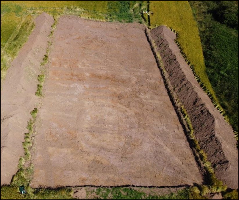
During Phase two investigations undertaken in May 2021, seven test trenches and three larger cuttings which comprised a total area of 2522m2, were opened and subject to detailed archaeological assessment. Definitive archaeological activity has been confined to one area of the site consisting of the area surrounding Cutting 1 and Trench 4. In total, 12 archaeological features were identified in Cutting 1, while an additional three probable features were identified in Trench 4 to its immediate north. The features identified in Cutting 1 consisted of: a ring ditch with a possible long cist and pit revealed internally in its central portion; linear and curvilinear features; possible post-holes and a stone-lined figure-of-eight-shaped kiln. The features identified in Trench 4 consisted of a possible post-hole, a deposit layer and cluster of probable stake-holes. The area of archaeological potential as defined by the results of both testing programmes is deemed to extend across an area of the site measuring 65m by 65m.