2021:761 - DERRY, Inagh, Clare
County: Clare
Site name: DERRY, Inagh
Sites and Monuments Record No.: CL024-006001 and CL024-006002
Licence number: 21E0282
Author: Fiona Maguire
Author/Organisation Address: Creagh, Ballinasloe, Co. Galway
Site type: No archaeology found
Period/Dating: N/A
ITM: E 520936m, N 685699m
Latitude, Longitude (decimal degrees): 52.916302, -9.175610
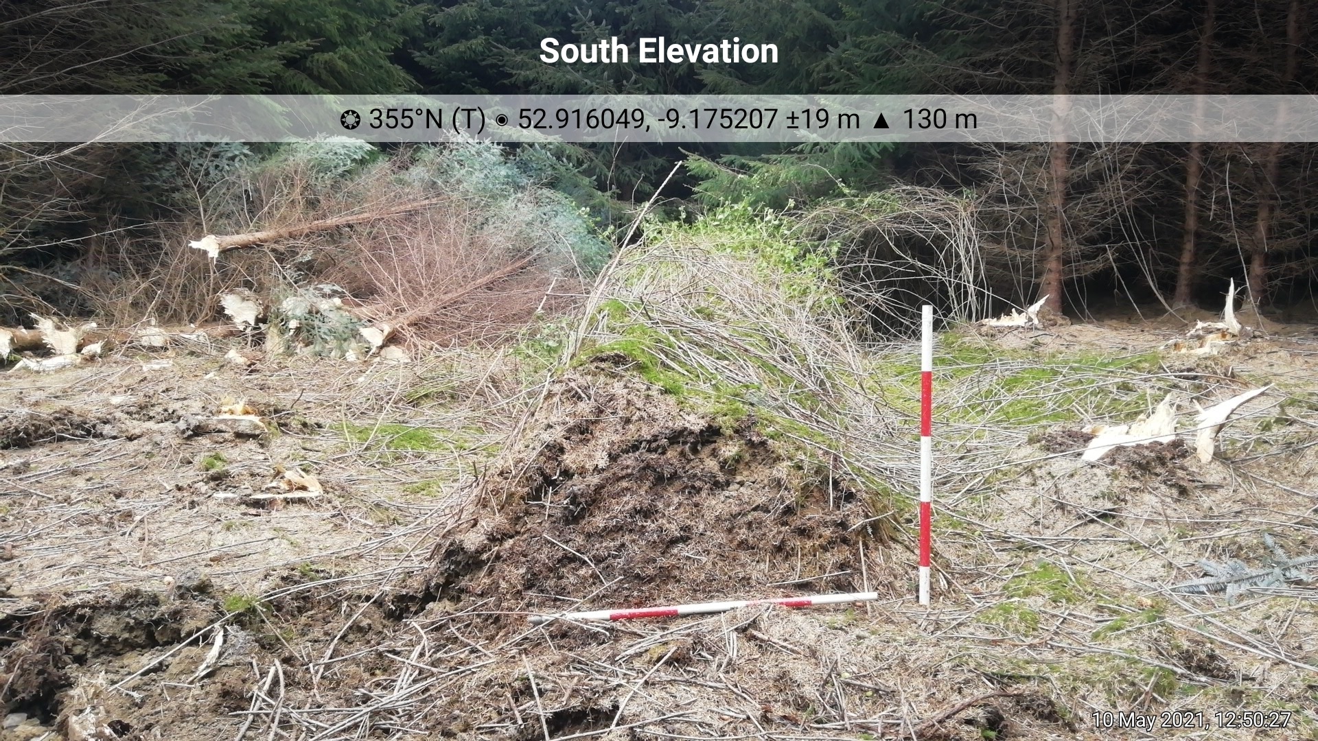
Archaeological monitoring of a 50m section of a more extensive forestry haul road was carried out in May 2021. The road lies approximately one hundred metres north-east of two recorded monuments, an earthwork (SMR CL024-006001-) and the remains of Bohneill Castle (SMR CL024-006002-). In addition, the development site is located close to the western boundary of the townland of Derry. The townland name first appears as ‘Derrys’ in the Inchiquin manuscript for the year 1163 AD (www.logainm.ie).
No archaeological features or finds were noted during monitoring of this section of road.
The remains of a north-south oriented earth/sod-built field boundary were noted at the north-eastern extent of the area monitored. The boundary is marked on the first edition of the OS six inch map for the area. It was recorded by photographic and written description on the day, as a 3.5m wide section of it was impacted by construction works.