2020:511 - LUGATOBER (3), Sligo
County: Sligo
Site name: LUGATOBER (3)
Sites and Monuments Record No.: N/A
Licence number: E005249 (R00544) (also Ministerial Consent Ref. No. A079)
Author: John Channing, c/o Archaeological Management Solutions Ltd.
Author/Organisation Address: Fahy’s Road, Kilrush, Co. Clare
Site type: Ring-ditch
Period/Dating: Iron Age (800 BC-AD 339)
ITM: E 571844m, N 841094m
Latitude, Longitude (decimal degrees): 54.317802, -8.432747
Stage (iii) Excavations were undertaken at Lugatober 3 as part of the N16 Lugatober (Drumkilsellagh to Lugnagall) Road Project, Co. Sligo. Lugatober 3 consisted of a ring-ditch. It was discovered in the during Stage (i)i geophysical survey (Registration No. R0531; Ministerial Consent Ref.: A079) carried out by Target Archaeological Geophysics (Nicholls 2020). The footprint of the putative ring-ditch extended outside the road corridor, on the west, where it is preserved in situ. The eastern portion of a ring-ditch was subsequently revealed during Stage (i)a Test Excavations undertaken in 2020 by AMS (Dowling and McKee 2020; Registration No.: E005188; Ministerial Consent Ref.: A079).
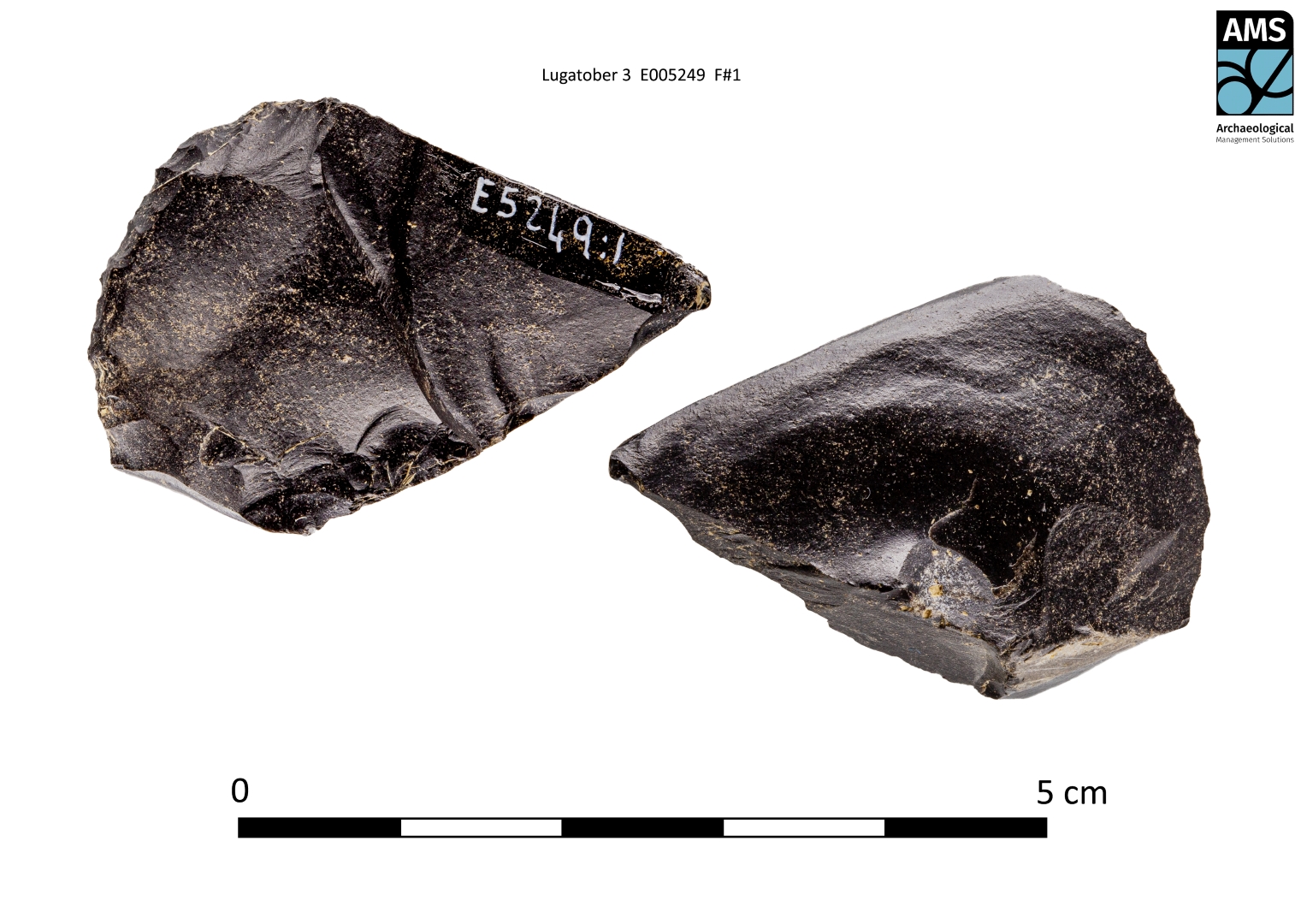
The on-site Stage (iii) Excavation Services at Lugatober 3 were conducted between 3 October and 13 November 2020. The site consisted of a ring-ditch, measuring about 18m in overall diameter, with excavation revealing its ditch to be up to 1.5m deep and 2.4m wide. There were three fills, which produced a variety of finds, including two glass beads and chert scrapers and flakes. The fill sequence pointed to sustained activity, seemingly involving the episodic deposition of burnt remains (charcoal, bone and stone). Hazel and blackthorn charcoal from two discrete layers near the top of the fill sequence were dated to cal. AD 26–204 and cal. AD 21–203 respectively, suggesting late Iron Age activity focused on the ditch.
The ring-ditch represents one of a number of prehistoric sites and features in the surrounding landscape, some of which were identified during the present project. These include two further ring-ditches, both located about 590m to the south at the sites of Castlegal 2 and Castlegal 3. The Lugatober 3 ring-ditch is also overlooked from the south by a large, palisaded enclosure, which was also excavated as part of the present project at the site of Castlegal 4. Further evidence of prehistoric activity in the wider area is indicated by wedge tombs (SL009-028 and SL009-031) in Drum East and Drumkilsellagh townlands, as well as an embanked barrow (SL009-030) and ring-barrow (SL009-027) in Castlegal townland.
References
Dowling, G. & McKee, J. 2020. N16 Lugatober (Drumkilsellagh to Lugnagall) Road Project Stage (i)a Test Excavation, Stage (i)f Townland Boundary Surveys and Stage (i)g Topographical Survey Report. Ministerial Consent Ref.: A079; Registration Nos.: E005188. Unpublished report by Archaeological Management Solutions Ltd on behalf of Sligo County Council.
Nicholls, J. 2020. Geophysical Survey Report. N16 Lugatober (Drumkilsellagh to Lugnagall) Road Project, Co. Sligo (A000079, R000531). Geophysical survey report prepared for AMS and Sligo County Council.