2020:727 - CARTRONAGOR (4), Roscommon
County: Roscommon
Site name: CARTRONAGOR (4)
Sites and Monuments Record No.: N/A
Licence number: E5208
Author: Joe Nunan and Ros Ó Maoldúin, AMS
Author/Organisation Address: Fahy's Road, Kilrush, Clare
Site type: Stone axe findspot and Habitation site
Period/Dating: Multi-period
ITM: E 582636m, N 787711m
Latitude, Longitude (decimal degrees): 53.838598, -8.263821
Cartronagor 4 was excavated in advance of construction of the N5 Ballaghaderreen to Scramoge Road Project in County Roscommon by Archaeological Management Solutions (AMS) for Roscommon County Council (RCC) and Transport Infrastructure Ireland (TII).
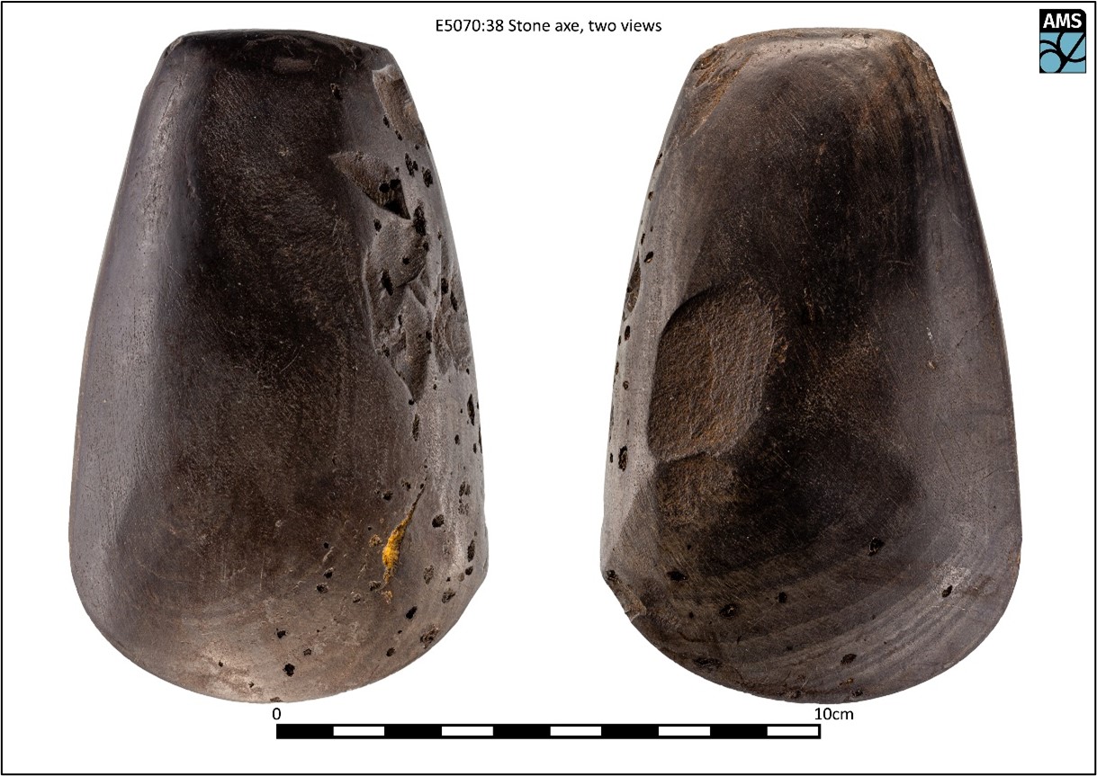
A Neolithic stone axe (E5070:38) was found during archaeological testing at the site that became Cartronagor 4 (Hardy 2021). No cut features of archaeological significance were discovered during the excavation; however, a spread of animal bone and pieces of timber were retrieved from the lower, peaty portions of the topsoil—from the same level as that in which the axe was found. A sample of the animal bone returned a modern date suggesting that the spread had no chronological association with the axe.
This summary report was uploaded on behalf of its authors.
Reference
Hardy, C. 2021. N5 Ballaghaderreen to Scramoge Road Project Stage (i)a, (i)b, (i)c Test Excavation, Stage (i)m Testing in Felled Forestry and Stage (i)f Townland Boundary Survey. Ministerial Direction No. A077, Registration No. E5070. Unpublished AMS report for TII and RCC.

