2020:708 - PEAK (6), Roscommon
County: Roscommon
Site name: PEAK (6)
Sites and Monuments Record No.: N/A
Licence number: E005184
Author: Siobhan McNamara and Kevin Kearney, Archaeological Management Solutions (AMS)
Author/Organisation Address: Fahy’s Road, Kilrush, Co. Clare
Site type: Burnt spread and Pit
Period/Dating: Multi-period
ITM: E 577607m, N 787862m
Latitude, Longitude (decimal degrees): 53.839762, -8.340240
Peak 6 comprised several burnt spreads with associated features discovered in boggy terrain and was excavated in advance of construction of the N5 Ballaghaderreen to Scramoge Road Project in County Roscommon by Archaeological Management Solutions (AMS) for Roscommon County Council (RCC) and Transport Infrastructure Ireland (TII). It was identified during Stage (i)c Test Excavations in Wetland/Scrub, carried out by AMS (Ministerial Direction No. A077, Registration No. E5070; Hardy 2021).
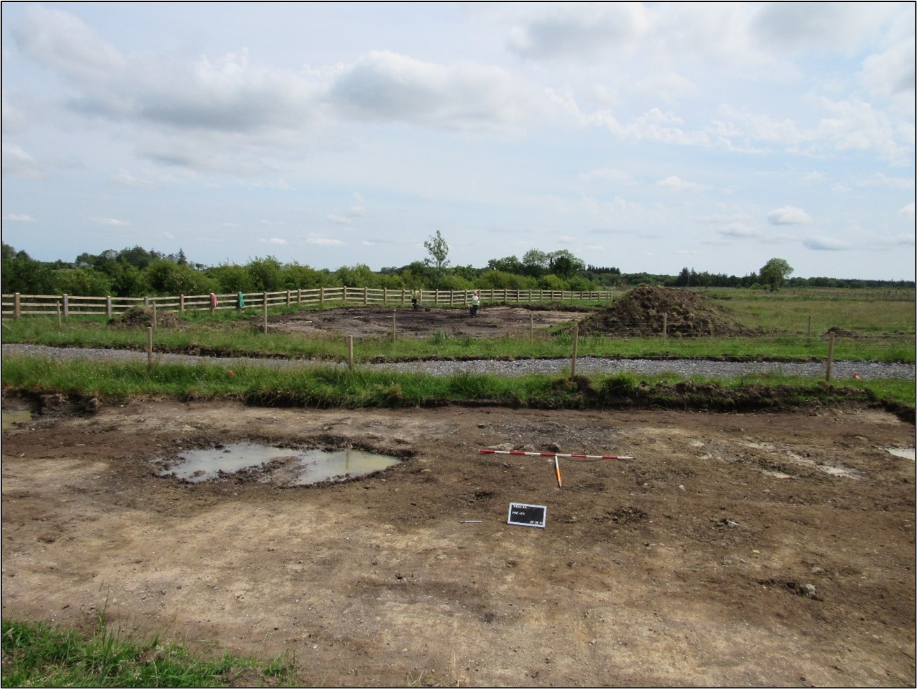
The on-site Stage (iii) Excavation Services at Peak 6 were undertaken by AMS between 29 June and 5 August 2020. The site contained eleven burnt spreads, eight pits, two postholes, one postpipe, one stakehole and two deposits spread between two cuttings on either side of a modern farm track. Post-medieval/modern agricultural features included two ditches and one unspecified linear along with several furrows and drains. Intercutting and overlapping features suggest multiple phases of site-use.
Area A—to the west of the trackway—consisted of seven burnt spreads, two pits and an intercutting postpipe and posthole. Four of the burnt spreads appeared to represent the remains of a single burnt spread/mound which had been disturbed by modern agricultural activity. One spread (2.2m by 1.5m in plan and 0.1m deep) contained two flint flakes and a second spread was cut by a sub-oval pit (1m by 0.62m in plan and 0.32m deep) that may have functioned as a trough. A sample of ash charcoal from the single fill of this trough returned an Early Bronze Age date of 2027–1774 cal. BC (UBA-48091; 3569±37BP). An irregular pit in the northeast (0.42m by 0.4m in plan and was 0.1m deep) contained a pottery crumb, tentatively identified as a fragment of a carinated bowl, suggesting an Early Neolithic date for this pit.
Area B—east of the trackway—consisted of six pits, one posthole, one stakehole and one deposit, many of which were underlying four overlapping burnt spreads. The first features identified in the sequence include four pits, a posthole and a stakehole which were underlying a burnt spread (15.6m by 14.3m in plan and 0.15m deep). The spread extended beyond the limit of excavation suggesting further features remain in situ beyond the Compulsory Purchase Order area. One of the pits underlying this spread (0.64m by 0.51m in plan and 0.2m deep) contained charred hazelnuts, indeterminate cereal grain, teeth from a pig and burnt bone fragments that may be human but are likely to be animal. A sample of birch charcoal from this pit returned a Late Bronze Age/Early Iron Age date of 773–478 cal. BC (UBA-48092; 2484±32BP).
The southern portion of the burnt spread and a pit were underlying a burnt spread (6.3m by 3.5m in plan and 0.09m in depth) which was in turn partially overlaid by a third burnt spread (3.4m by 1.53m in plan and 0.07m in depth). The fourth spread (2.8m by 2m in plan and 0.07m deep) was located at the southeastern extent of the site and overlaid a pit (1.2m by 1.05m in plan and 0.3m deep) that may have functioned as a trough.
Traces of field drains and boundaries, in addition to northwest–southeast- and northeast–southwest-aligned furrows were present within Areas A and B.
The artefacts found at Peak 6 consisted of a chert flake, three flint flakes, a crumb of Early Neolithic pottery, a sherd of medieval pottery and three sherds of post-medieval glazed earthenware pottery. The chert flake, three flint flakes, crumb of Early Neolithic pottery and sherd of medieval pottery will be retained for the national collection.
The charcoal from Early Bronze Age features at Peak 6 comprised alder, hazel, ash and oak, while the Iron Age features in Area B comprised alder, hazel, ash, oak, willow, blackthorn/cherry and pomaceous fruitwood.
This final report summary was submitted on behalf of the author.
References
Hardy, C. 2021. N5 Ballaghaderreen to Scramoge Road Project Stage (i)a, (i)b, (i)c Test Excavation, Stage (i)m Testing in Felled Forestry and Stage (i)f Townland Boundary Survey. Ministerial Direction No. A077, Registration No. E5070. Unpublished AMS report for TII and RCC.

